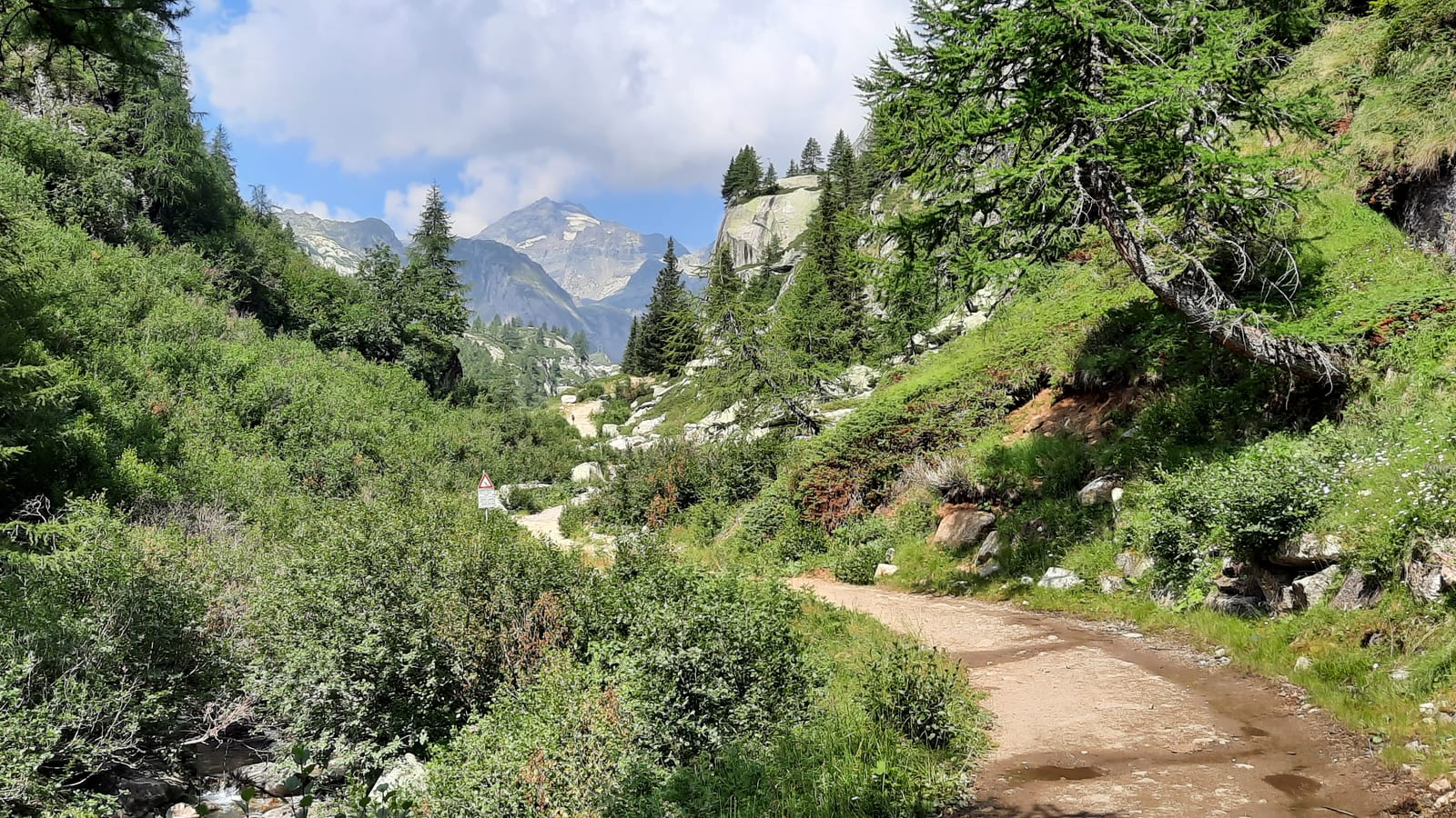
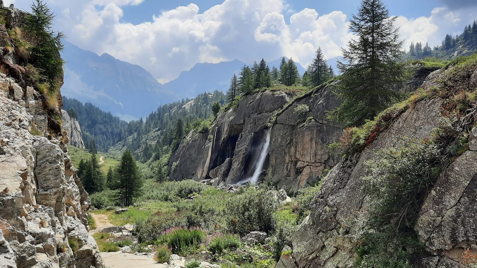
Ossola is the valley where I fell in love with the mountains. I grew up in northern Piedmont, and Ossola was the classic destination for Sunday outings — a place that everyone nearby knew of, but that seemed to vanish from people's mental maps the moment you moved a little further away. Even today, in Milan, not that far, few people know it exists, and those who have heard of it have often never actually been.
It is a valley that has paid the price of depopulation. The more accessible spots — Alpe Devero and the Toce waterfalls in Val Formazza, for instance, or Val Vigezzo with its second homes — fill up on weekends with visitors from Piedmont and Lombardy looking for a picnic or a breath of mountain air. But it takes very little distance from the car park to find yourself in absolute solitude; on weekdays, and sometimes even on weekends, you can walk an entire day without crossing another soul.
These are not particularly high mountains, mostly between three thousand and three thousand five hundred meters — apart from Monte Rosa, which at 4,634 meters closes Valle Anzasca — but they are often steep and unforgiving. They were once inhabited by the Walser, far less known than the Ladins of the Dolomites but with an equally rich history; traces of them remain in the alpine pastures, sadly most of them now in ruins.
It is also a marginal valley when it comes to skiing, with few lifts, often old and basic. But that is precisely what makes it a paradise for those who love the mountains in their purest form. The mountain refuges offer no comfort: shared dormitories, communal bathrooms, a hospitality that is warm and authentic, worlds away from the luxury of more celebrated alpine destinations.
Despite being a little-known valley, Ossola has a remarkable concentration of mountain refuges relative to its size, and an equally surprising density of protected areas: the Val Grande National Park, Italy's largest wilderness area, the Alpe Veglia and Alpe Devero Nature Park, and the Alta Valle Antrona Nature Park. Three parks packed into a handful of kilometers, protecting a kind of nature that has become a memory almost everywhere else.
If the high mountains have experienced depopulation, the valley floor has remained, in its own way, populated and alive, with a decent local economy — helped also by the fact that Ossola lies along the road leading to the Simplon Pass, long a strategic crossing point into Switzerland. Driving through, it is impossible not to notice the numerous quarries, mostly for granite, including serizzo, the stone typical of these valleys. Few people know that a well-known vinyl glue takes its name from Villadossola, the town just before Domodossola, home to the historic company that produces it, and a famous “blond” alcohol-free aperitif takes its name from Crodo, a small village in Valle Antigorio. The valley floor also has its own winemaking tradition, with Prunent, the local variant of Nebbiolo, and a final mention goes to Bettelmatt, a rare and highly prized semi-cooked full-fat cheese made in only a handful of high-altitude alpine pastures.
Map of the places
- 1 Alpe Devero, the great East
- 2 Alpe Devero, Val Buscagna
- 3 Valle Antigorio, Salecchio
- 4 Val Formazza, Riale
- 5 Valle Anzasca, Macugnaga
- 6 Val Grande
- 7 Val Bognanco
- 8 Valle Antrona
- 9 Valle Antigorio, Foppiano
- 10 Val Formazza, Vallone del Vannino
1 Alpe Devero, the great East ↑
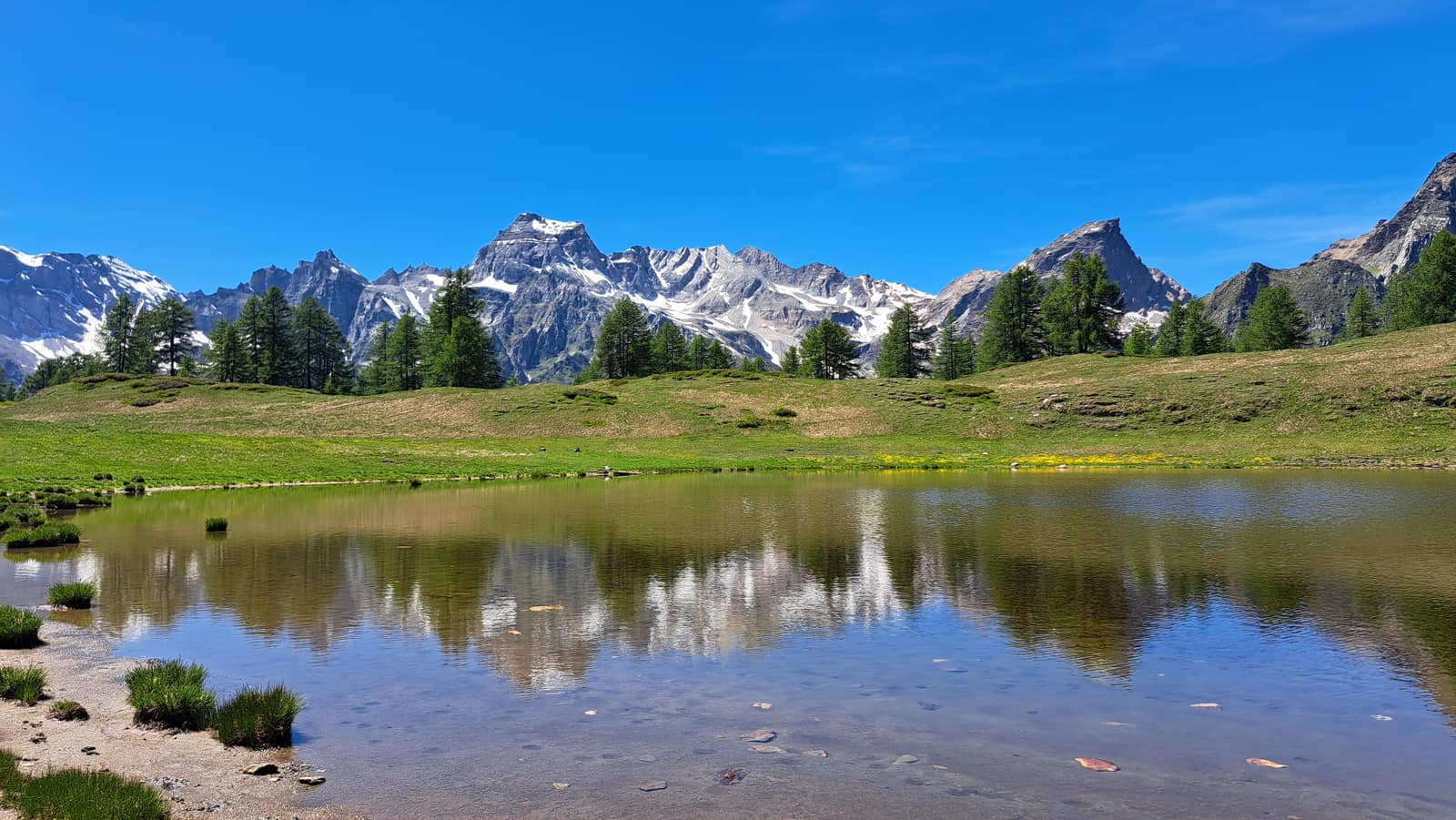
Heading north through Ossola, at Baceno a fork forces a choice: continue along Val Formazza, or turn left and climb toward Alpe Devero, at sixteen hundreds meters — a broad glacial plateau dotted with small hamlets, clusters of huts, most of them restored. It gets busy on weekends, but it takes very little to leave the crowds behind. On the eastern side, four to five hundred meters higher, a long plateau stretches for kilometers in a sequence of lakes and pastures.
2 Alpe Devero, Val Buscagna ↑
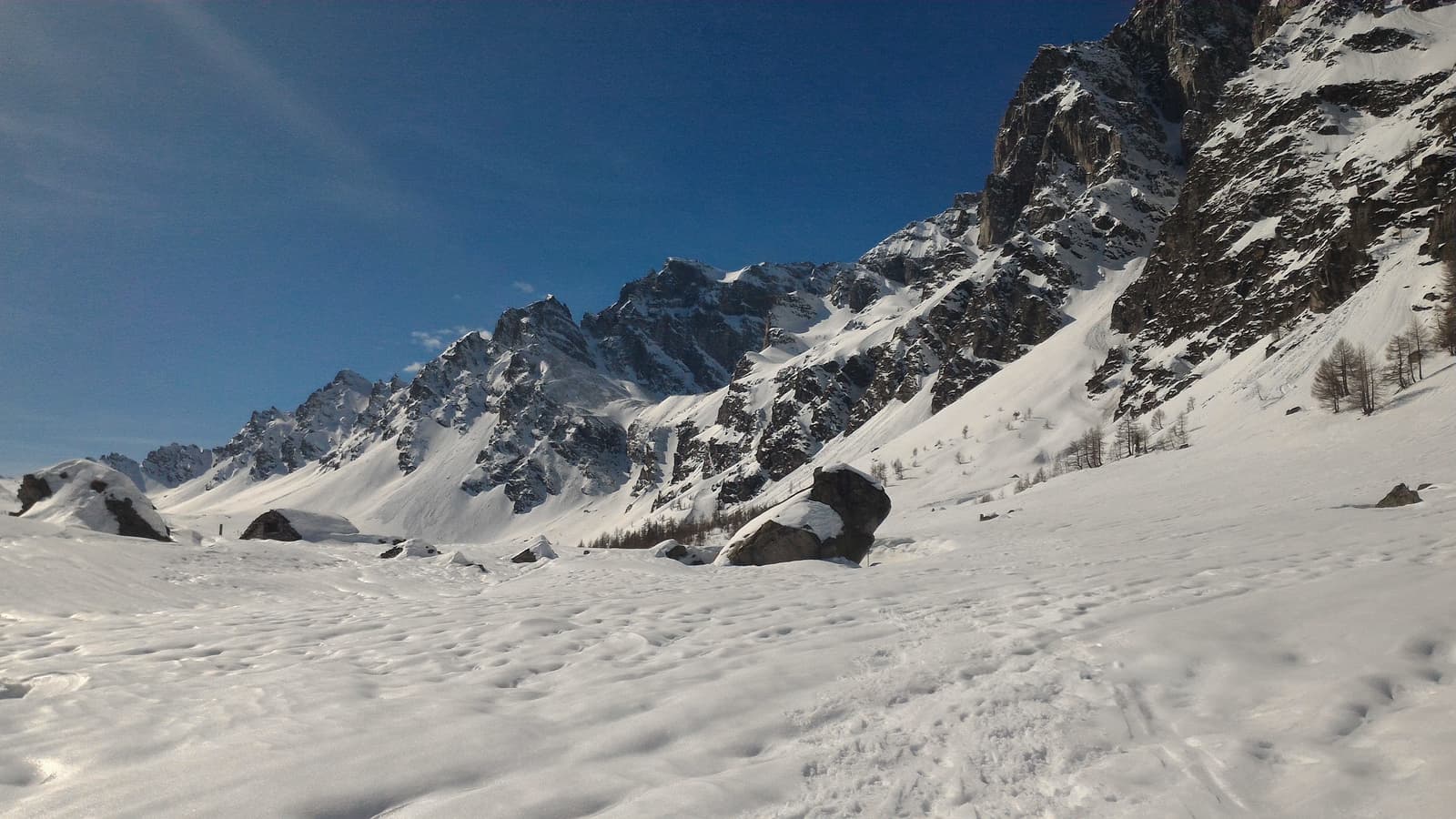
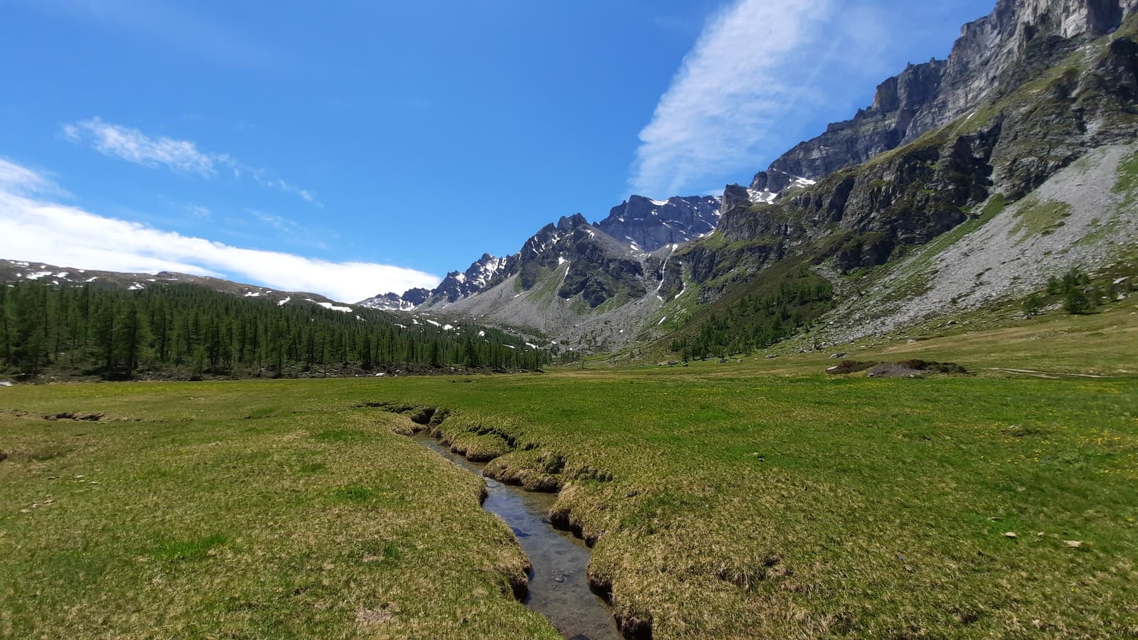
On the western side of Alpe Devero, at around two thousand meters, another long valley opens up: Val Buscagna, which climbs gently toward Passo di Valtendra. The path leading there, toward Monte Cazzola, passes a delightful little lake, Lago Nero, home to tadpoles and newts. Once you emerge into the valley, the view is extraordinary: a stream crosses it quietly, jagged peaks rise along the valley’s left side, and the pass remains far off in the distance. In winter the spectacle is even greater, but take care with the path you choose: the one running beneath the slope carries avalanche risk.
3 Valle Antigorio, Salecchio ↑
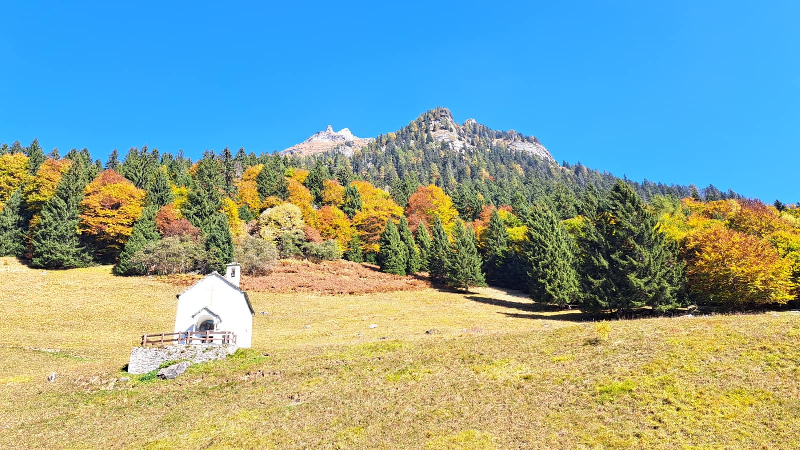
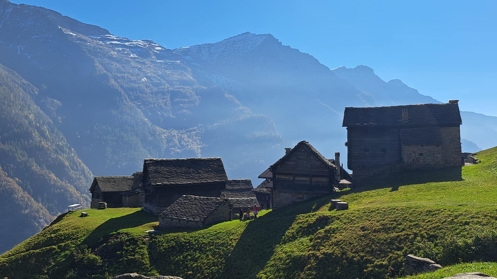
Valle Antigorio, the stretch of Ossola climbing from Crodo toward Premia, is topped by a plateau perched above a sheer drop, where a Walser hamlet called Salecchio rises, divided into Inferiore and Superiore. Along the way there are in fact many such hamlets, each more beautiful than the last, made up of huts — some restored, some abandoned, but abandoned recently enough that the trace of the people who once lived there is still perceptible.
4 Val Formazza, Riale ↑
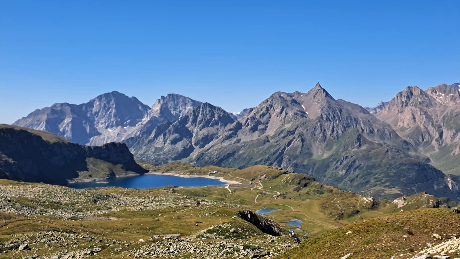
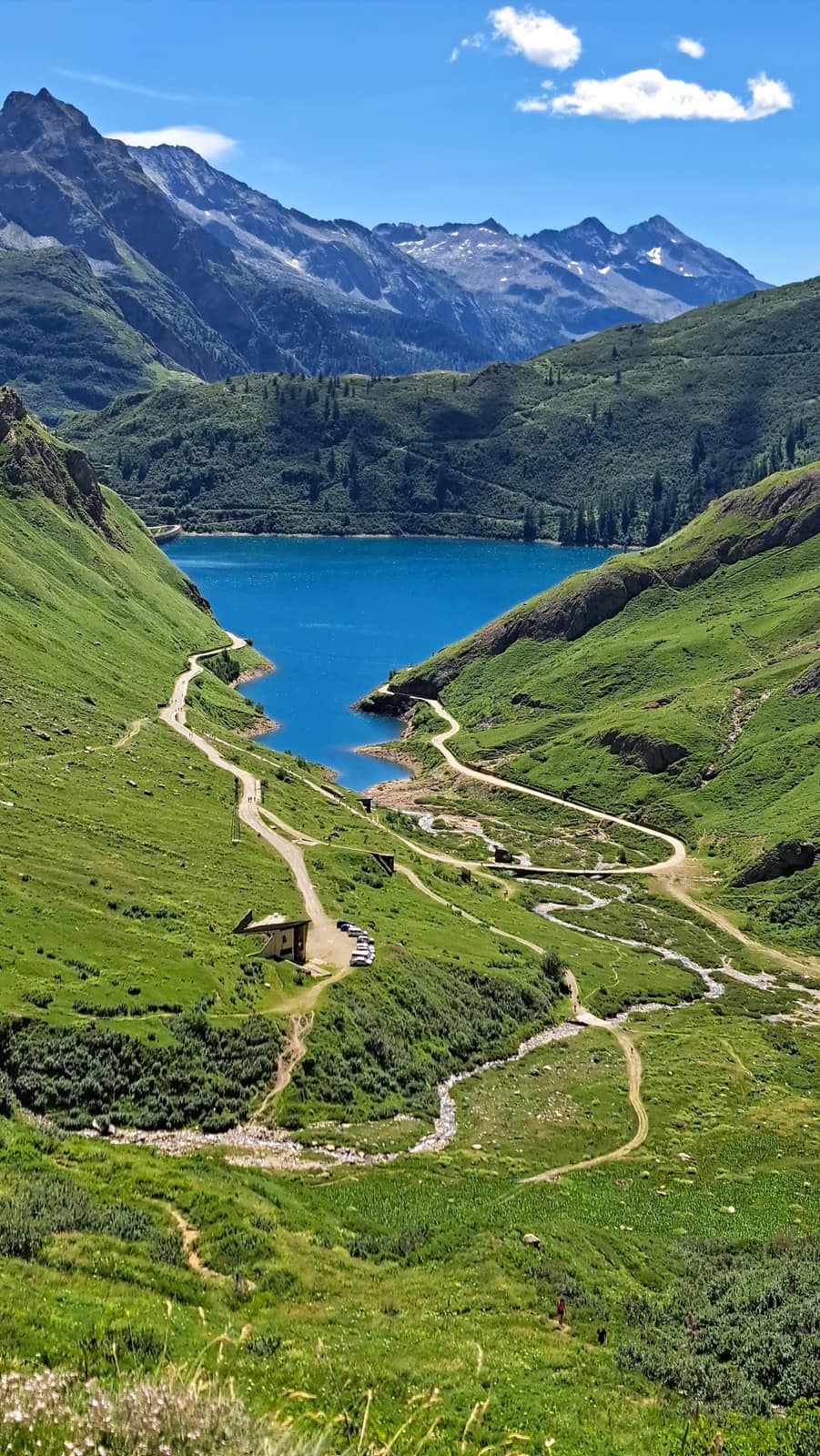
At the very top of Piedmont, where it wedges into Switzerland, lies Riale, a pleasant Walser village above the Toce waterfalls. From Riale there are two options: follow the shore of the artificial Lake Morasco and climb to the high refuges — Città di Busto, 3A, Somma Lombardo, and Claudio e Bruno — or head up Val Toggia toward the lake of the same name, the Maria Luisa refuge, and the beautiful plateau leading to the Boden lakes. The two routes can be joined into a long loop that passes through Switzerland.
5 Valle Anzasca, Macugnaga ↑
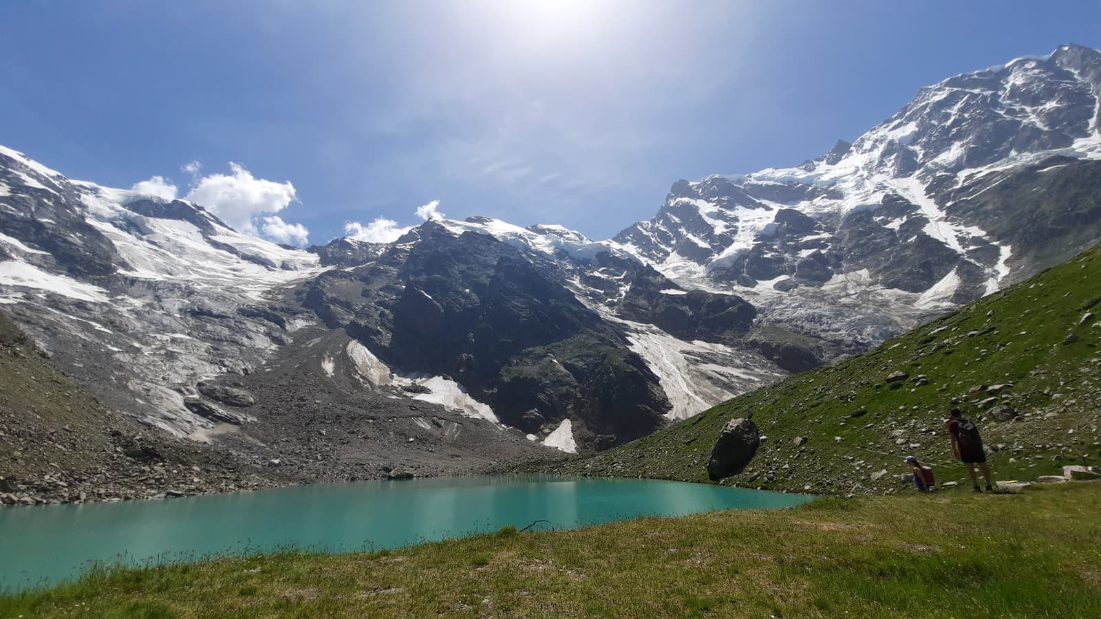
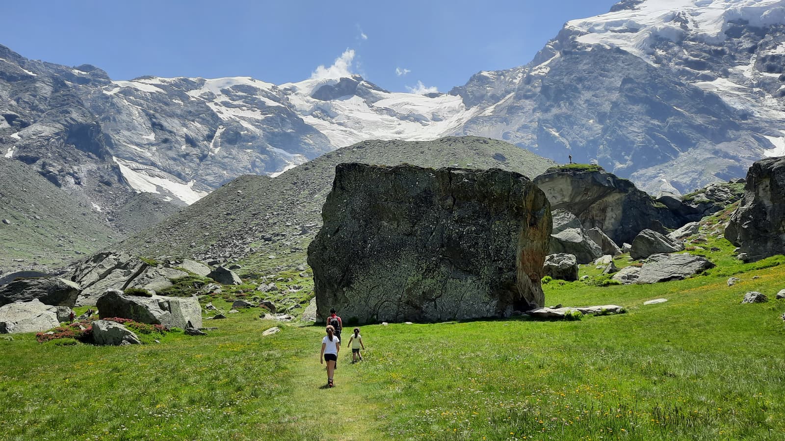
For some reason, Macugnaga has always felt like a place apart from the rest of Ossola to me, even though it belongs to it in every sense. When people think of Monte Rosa, Valle Anzasca rarely comes to mind, yet it is a truly remarkable place, wedged as it is between the east face of Monte Rosa and Monte Moro. In winter it offers a decent ski area for the region, though the lifts are noticeably dated compared to those in Aosta Valley. But it’s in summer that this valley truly shines. The walks beneath the imposing east face are genuinely stunning. The Belvedere glacier, over which you can still walk for much of its length, offers, for as long as it lasts before melting away completely, an incredible spectacle. The main refreshment point in the area is the Zamboni-Zappa refuge, an obligatory stop before the climb to the lovely Lago delle Locce. But Valle Anzasca is much more than that. It’s a fairly long valley, made up of many settlements, and Macugnaga itself isn’t a single town but a cluster of different hamlets strung one after another in the upper part of the valley, each offering countless worthwhile hiking routes of its own.
6 Val Grande ↑
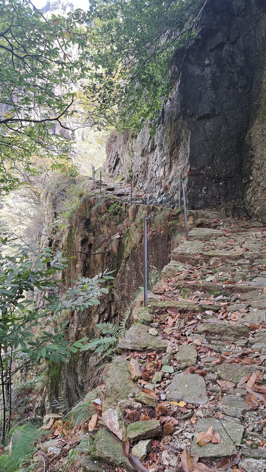
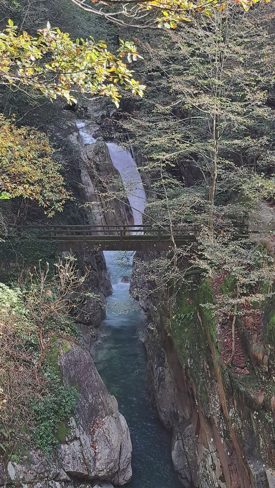
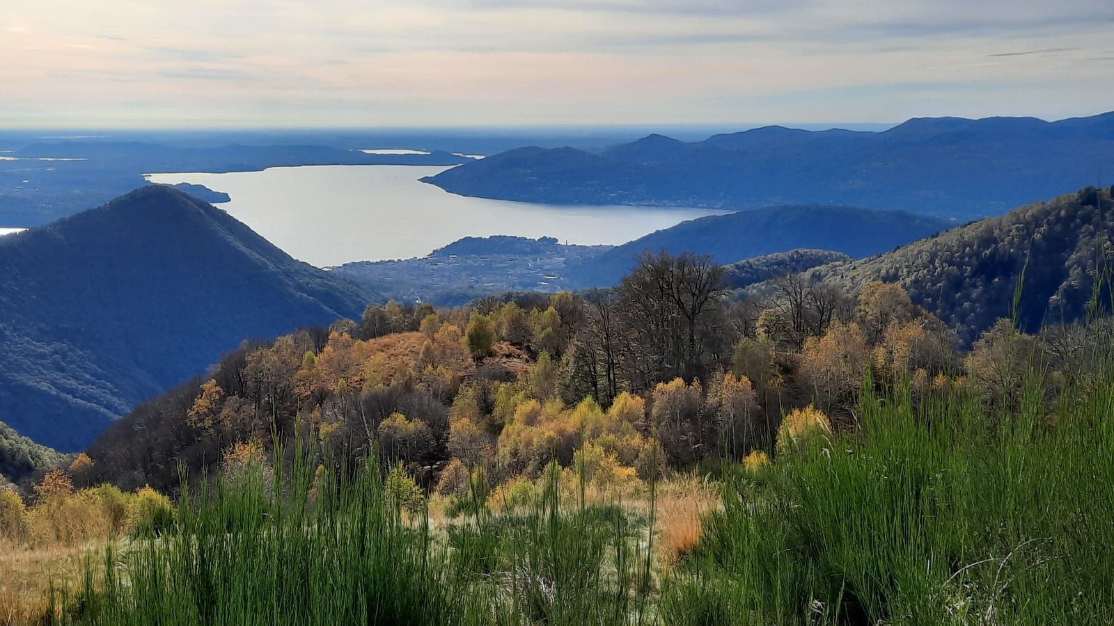
Val Grande is a world apart. A national park since 1992, its tagline is “the largest wilderness area in the Alps.” You might picture, then, a wild place entirely free of human traces. And wild it is, but human presence is very much there: pastures unused for decades, small settlements like Pogallo, abandoned for more than fifty years yet still remarkably intact, impossible mule tracks, terraced fields. What strikes you here is how human life managed to take hold despite such rugged terrain, and how nature is steadily reclaiming the spaces people abandoned for good more than fifty years ago. Val Grande stretches between the mountains above Verbania to the south, Val Vigezzo to the north, and Valle Cannobina to the east. At its edges lie a handful of villages, reached by roads that “winding” barely describes. At its heart there is no village at all: only traces of a bygone era, dense forests, rushing streams, and mountains that are steep but not especially high, their summits offering views that stretch from the Po Valley and the lakes of Verbano and Varesotto all the way to the Ossola Alps. It’s a place absolutely worth visiting, ideally with a guide: it’s very easy to lose your way here.
7 Val Bognanco ↑
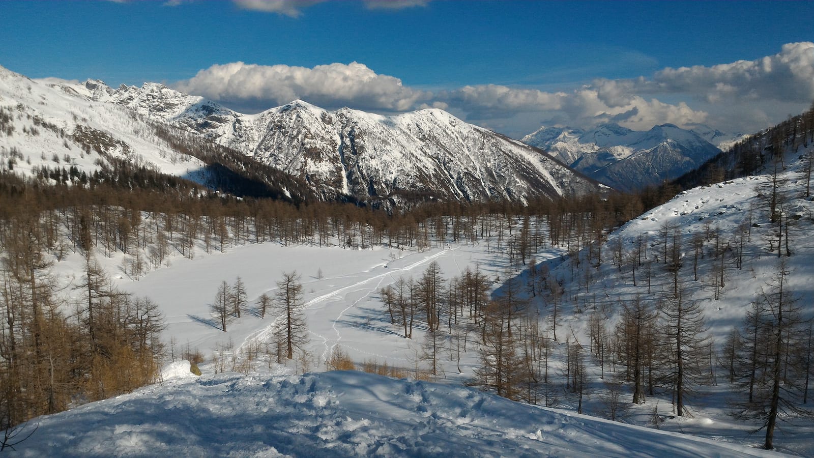
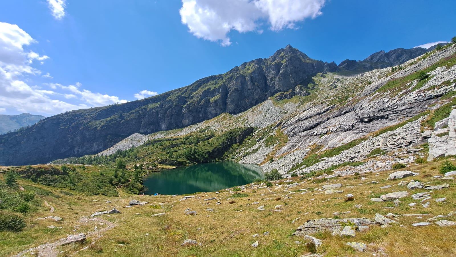
Val Bognanco is a valley that branches off the right side of the valley, orographically speaking, near Domodossola. The road climbs through steep switchbacks up to Bognanco, the main village, a spa town largely unknown to anyone who isn’t a regular of the area. The trails start mainly from two places: the hamlet of San Bernardo, at sixteen hundred meters, and Pizzanco, a small village much lower down, on the other side of the valley. San Bernardo is the more frequented of the two: there’s a convenient parking area, a refuge, and another one a bit higher up. The classic walks lead to the Paione lakes, three natural tarns set on three rock terraces, one above the other, separated by steep cliffs. Or the walk toward Passo di Monscera, which separates the valley from Switzerland and offers a wonderful view over the Swiss mountains. Below Passo di Monscera, a large basin holds the Gattascosa refuge, an institution in these parts and one of the few refuges that stays open through the winter, reachable with a nice snowshoe walk.
8 Valle Antrona ↑
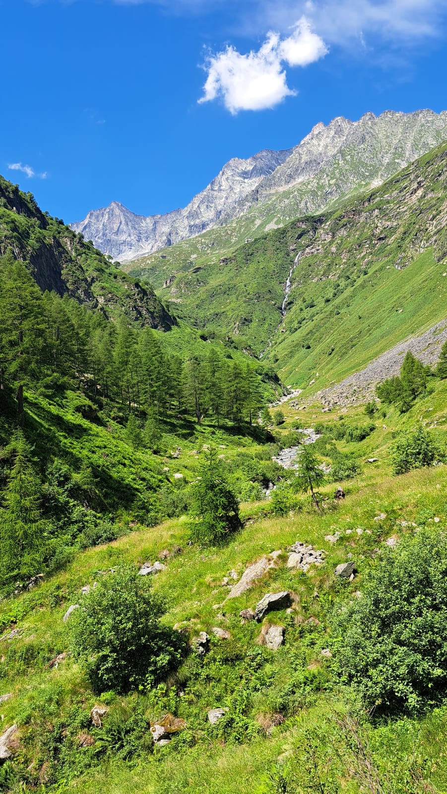
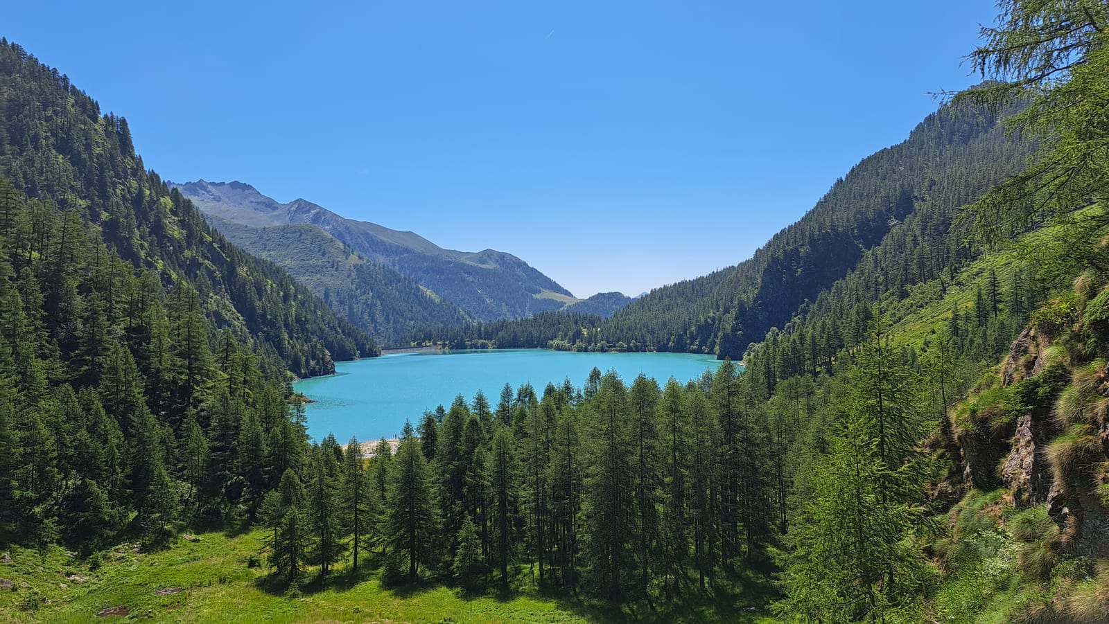
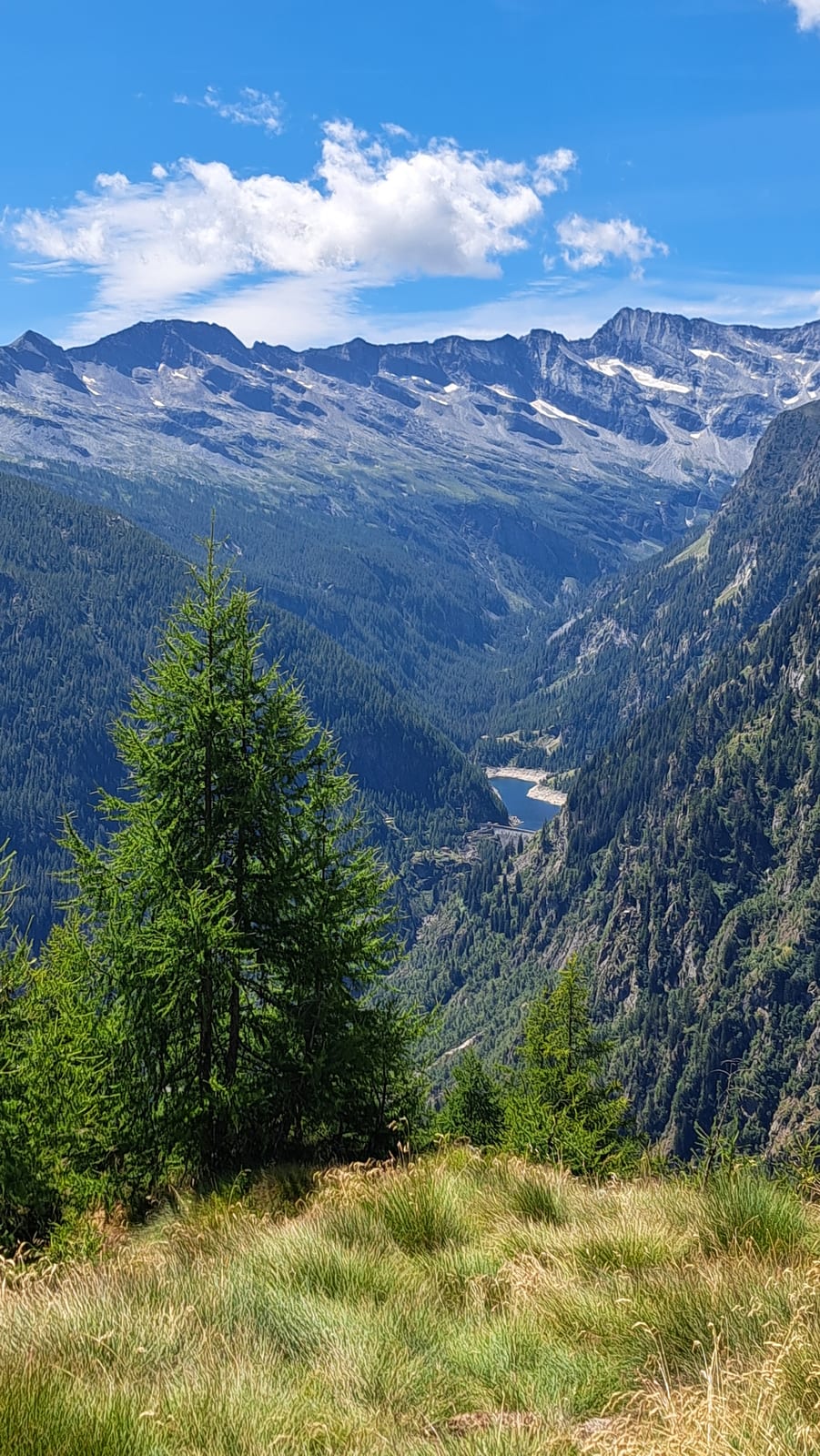
Valle Antrona is one of my favorite valleys in the Ossola. Much of its right-hand side falls within the Alta Valle Antrona Natural Park, a protected area that stretches from five hundreds meters in the valley floor up to the 3,656-meter Pizzo Andolla, and the valley as a whole has a great deal to offer, including no shortage of curiosities. There’s the Viganella mirror, for instance, installed at about eleven hundreds meters to reflect sunlight onto the village square, which would otherwise sit in shadow for long winter months. Or the Cingino Dam, famous for its near-constant gatherings of ibex, clinging improbably to the steep dam wall to lick the mineral salts seeping from it. It’s also a valley that made the history of Italian hydroelectric power: a well-known trail links the valley’s various reservoirs. Then there’s Lake Antrona, easily accessible and, for that reason, packed with visitors in summer, with a lovely walk that runs behind a waterfall for part of its length. Finally, there’s Andolla, a beautiful mountain with a refuge of the same name at its base. Andolla Refuge is reached from Cheggio, a charming hamlet that is also the starting point for trails crossing into Val Bognanco via the Fornalino Pass.
9 Valle Antigorio, Foppiano ↑
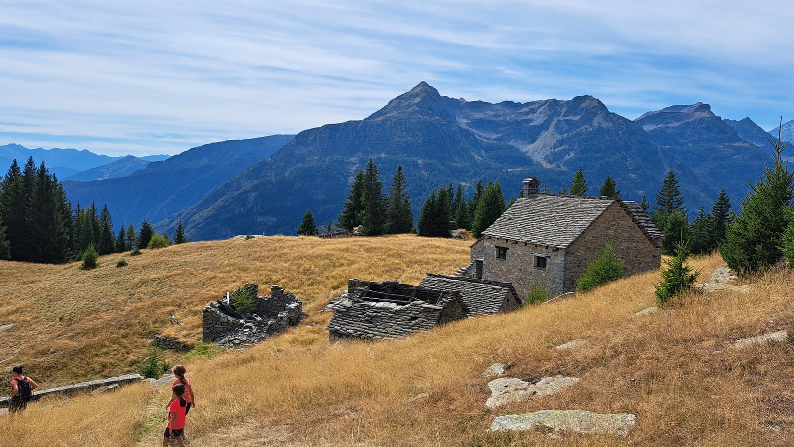
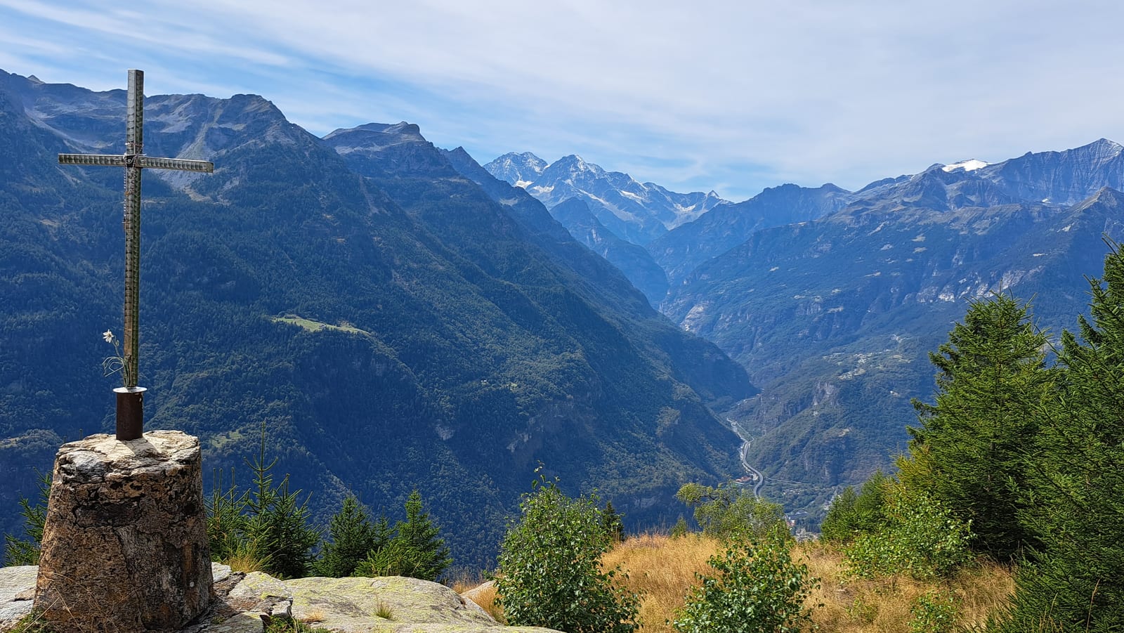
Valle Antigorio is marked by steep walls that press in on the valley floor. Above Crodo, at an elevation of twelve hundred meters, sits a small settlement, Foppiano, made up of a handful of restored stone huts and a historic hotel. Foppiano is the starting point for numerous trails, on both the Val Divedro side and the Valle Antigorio side. On the ridge separating the two valleys stands the Alpe Genuina, a now-abandoned mountain pasture that offers an immeasurable view.
10 Val Formazza, Vallone del Vannino ↑
Along the road to the Toce Falls you come to Valdo, a hamlet of Formazza, from where a steep, old-fashioned chairlift lets you comfortably cover the first four hundred meters of ascent into the valley. Alternatively, a dull jeep track from Canza, a few kilometers further on, leads roughly to the same point. From the top station, a further stretch of steep climbing takes you out of the dense forest and into a different world. This is an area heavily exploited for hydroelectric power: the path, in fact, is a jeep track serving the dam keepers, and it’s not the most thrilling. What’s genuinely thrilling is the surrounding landscape, grand and imposing. Watching climbers tackle the steep cliffs that frame the valley is another pleasant diversion. At the head of the valley stands the Margaroli refuge, encircled by a crown of mountains dominated by the Arbola. From the refuge, hiking options are endless, for every taste and in every direction, even toward the neighboring area of Riale, linked by legendary passes such as the Nefelgiù. Even just staying around the refuge is rewarding, rich as it is in lakes, both artificial and natural.