Brazil arrives with its soundtrack already playing: Carnival, soccer, the green immensity of the Amazon, Christ the Redeemer with his arms open over Rio's beaches. All of it is true, but it isn't the whole picture. What actually set this trip in motion was a photograph that had nothing to do with any of that — a white expanse of dunes cut through by turquoise lagoons, in a corner of the country little known in Europe.
That photograph — the Lençóis Maranhenses — shaped the entire itinerary. But the first stop was somewhere else, and that one we had more than a few doubts about: we've never been big-city people, and Rio de Janeiro felt almost like an obligatory add-on before the real reason for the trip. We were won over almost immediately: between the Selarón Steps, Sugarloaf Mountain, and sunset at Arpoador, Rio worked its charm before we had much chance to stay skeptical. To reach the Lençóis, and then continue on through the Delta do Parnaíba and Jericoacoara, we gave up our beloved self-drive trips for once: between stretches of sand, rivers to cross by boat, and tides that redraw the coastline twice a day, there was no itinerary a rental car could handle on its own. Putting ourselves in the hands of local boatmen and drivers turned out to be the right call — though, we'll admit it, we did miss being the ones behind the wheel.
The route
- 1 Rio de Janeiro
- 2 São Luís
- 3 Barreirinhas
- 4 Atins
- 5 Caburé
- 6 Tutoia
- 7 Ilha do Caju
- 8 Parnaíba
- 9 Camocim
- 10 Jericoacoara
- 11 Guajiru
- 12 Fortaleza
Day by day
Day 1 — Santa Teresa, Lapa, and Sugarloaf Mountain
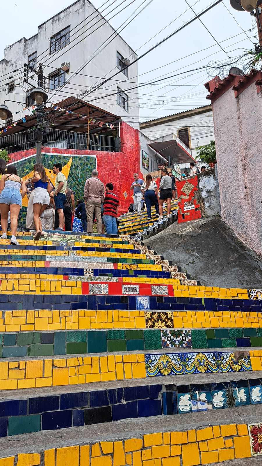
We landed in Rio de Janeiro at dawn. Just enough time to clear immigration and drop our bags at the hotel, and we were ready to start exploring the city. The sky was overcast, so we chose to spend the morning in the neighborhoods of Santa Teresa and Lapa, connected by the Selarón Steps — one of the most photographed spots in the city and, seen in person, better than expected, less for the artwork itself than for the atmosphere around it. Chilean-born artist Jorge Selarón began covering these 215 steps with tiles in the 1990s, a personal project in front of his own house; over the years, tiles arrived from more than sixty countries, sent by anyone who had visited the staircase and wanted to leave a piece of it behind. The result is a continuous mosaic that shifts pattern with every flight of stairs, yellow and green dominating in a nod to the Brazilian flag.
Walking through Santa Teresa has its own appeal too, not for any particular architectural landmark, but for the loosely bohemian, slightly hippie air the neighborhood carries.
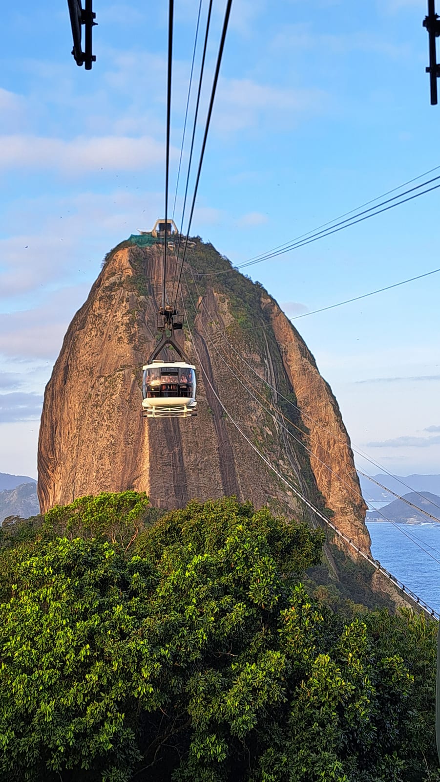
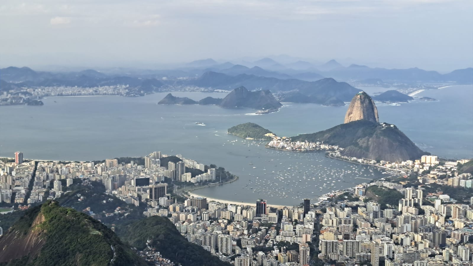
After a lunch break at one of the many beach kiosks on Ipanema, we headed toward Sugarloaf Mountain in the afternoon, the city's other great symbol. The ascent runs in two cable car stages — first to Morro da Urca, then on to the summit at 396 meters. From up there, Rio opens up entirely: Guanabara Bay, the beaches of Copacabana and Ipanema, the silhouette of Christ the Redeemer in the distance.
The view is, predictably, striking, and it's obviously an unmissable stop if you cross an ocean to visit Rio. That said, as expected, it's a heavily touristic attraction, crowded beyond belief.
Rio is ringed by many peaks with extraordinary views of their own. Sugarloaf and Corcovado are naturally the most popular, being easy to reach and, in Corcovado's case, home to the famous Christ the Redeemer statue. Other summits require hiking, some of it demanding, but in exchange they offer the kind of exclusivity that only a certain amount of effort can buy.
Sugarloaf, in some ways, looks better from a distance, with that iconic profile, than it does from the top.
Day 2 — Tijuca Forest, Christ the Redeemer, and sunset at Arpoador
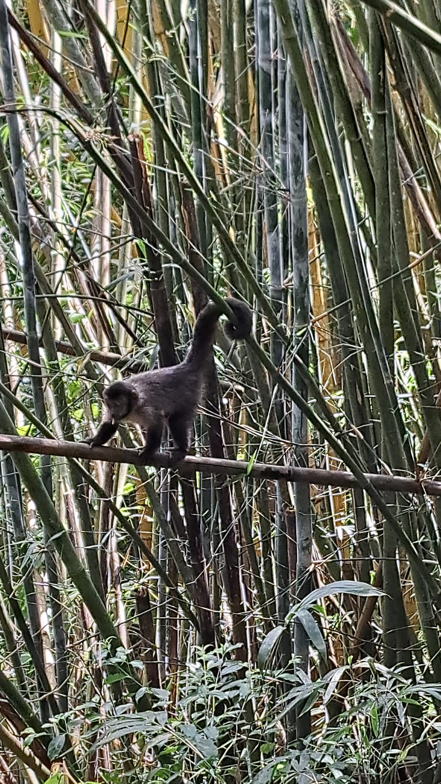
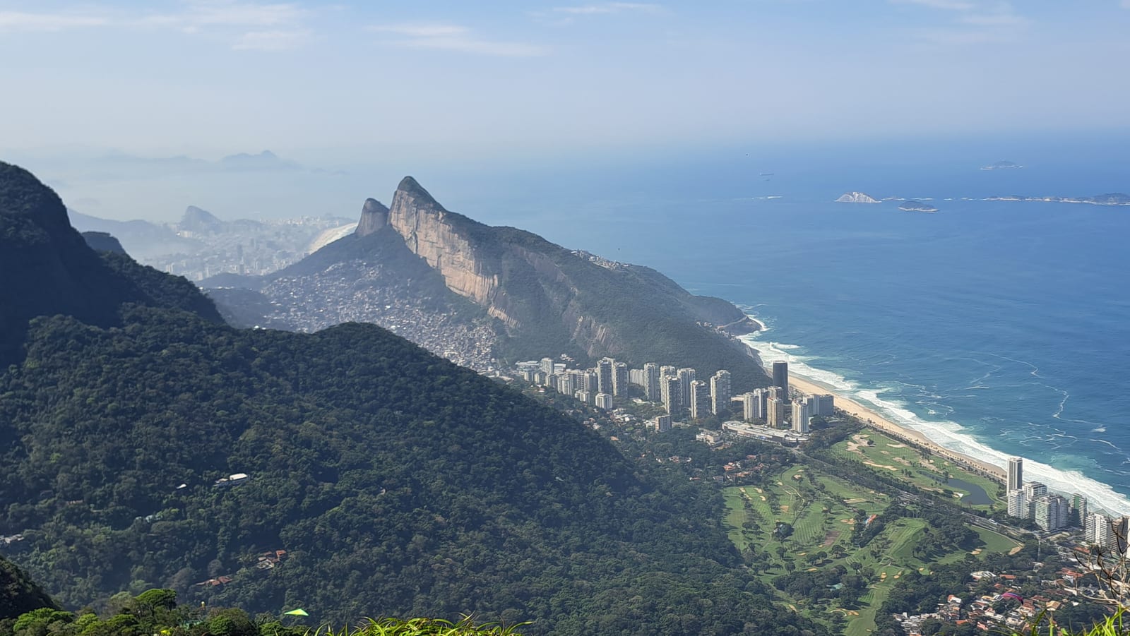
We spent the morning of the second day in the Tijuca Forest, heading for one of the less touristy peaks from which to take in Rio. Tijuca is one of the largest urban forests in the world, and it's remarkable that a place this vast and this wild exists in the middle of a megacity. It isn't, however, a surviving patch of the original rainforest: coffee plantations had all but destroyed it in the nineteenth century, and today's forest is the result of a large-scale reforestation effort ordered by Emperor Pedro II, now protected as a national park. Time was short, so we opted for Pedra Bonita, reached by a pleasant 90-minute round-trip hike (with plenty of stops along the way to photograph capuchin monkeys and coatis).
The summit is a great dome of rock that, like many other mountains around Rio, drops straight down toward the city below. From up there, the view is priceless and peaceful, with no need to jostle for a spot to take a photo.
In the afternoon we headed to Paineiras to catch the van up to Christ the Redeemer (unfortunately, we couldn't get a spot on the historic little train). Another unmissable stop, and another extremely touristy one — even more crowded than Sugarloaf, if that's possible — but still not to be skipped.
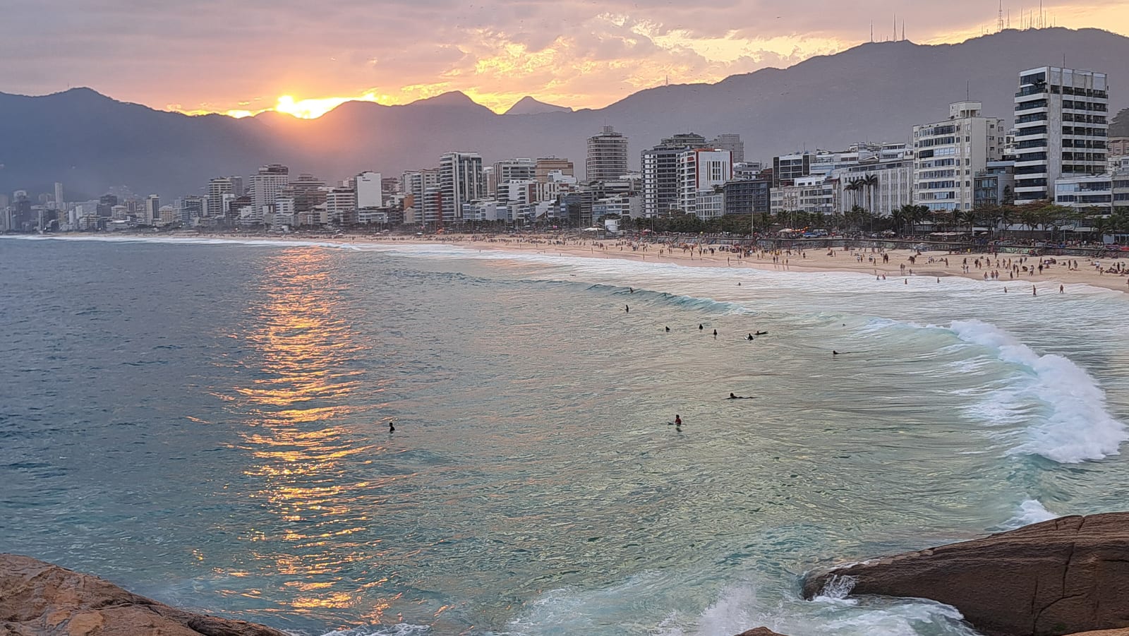
We made it back in time for the sunset ritual on the rocks of Arpoador, which separates the city's two iconic beaches, Ipanema and Copacabana.
Truth be told, the sunset itself, dropping behind the hills that ring Rio, isn't especially spectacular — what's memorable, once again, is the atmosphere. Hundreds of young locals gather here every evening for this ritual, with the sea foaming against the rocks and surfers putting on a show. Dozens of makeshift vendors — all equipped with card readers, since nobody seems to use cash in Brazil — sell beer, caipirinhas, and snacks. We felt fully immersed in the local culture, and it was well worth it.
Day 3 — Sunrise at Copacabana and the transfer to São Luís
Travel day toward the Northeast, and the start of the Rota das Emoções — Brazil's "Route of Emotions." Before the flight to São Luís, we wanted to squeeze a little more out of Rio. So we got up early to watch the sunrise from Copacabana Beach.
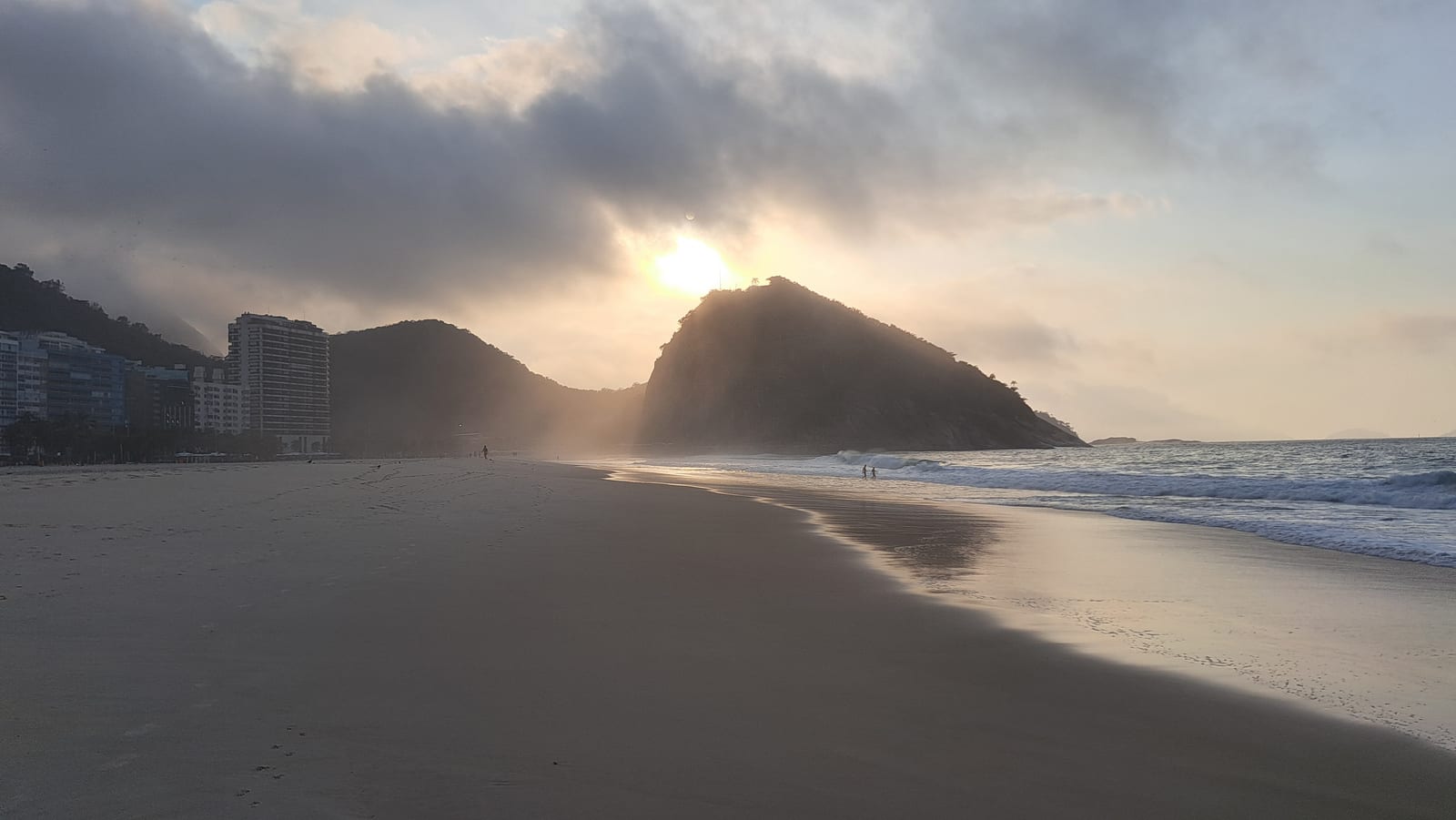
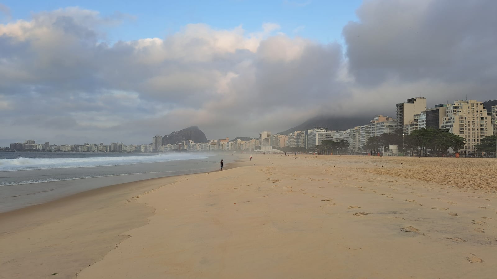
Copacabana is a very long beach. In the northern stretch, in the Leme neighborhood where we were staying, the beach is also very deep. Heading south, toward the promontory that separates it from Ipanema, the shoreline narrows instead.
The impressions are mixed. The beach is gorgeous, with fine, light-colored sand. The seabed slopes gently. The surf zone stretches for dozens of meters, pounded relentlessly by big waves. There are no beach clubs like in Italy. Every so often a "barraca" sells drinks, and along the wide beachfront promenade there are nice, fully open-air kiosks serving cocktails and simple food. Where the beach widens, footvolley courts are everywhere, already packed by six in the morning.
Beyond the promenade, a wide divided highway, chaotically busy. And then a wall of high-rises, none of them particularly attractive. And yet, taken as a whole, the view inexplicably isn't that bad — distinctive in its own way.
We reached São Luís in the late afternoon. Days are short in August, so we decided to follow the advice not to venture into the historic center after dark, UNESCO World Heritage status notwithstanding, since it's apparently quite dangerous at night. Instead, we opted for a quiet dinner along Avenida Litorânea.
We can't say much about São Luís, having only spent the length of one night there.
Day 4 — On the Road to Atins
The drive from São Luís to Barreirinhas is long and tedious. We also had a car breakdown, which stretched things out even further. The route climbs back up the busy peninsula/island where the city sits, then heads east across an endless plain of palm forests. There isn't much to see along the way. Modest, isolated houses alternate with small clusters of buildings. Most of them are unplastered, or plastered only on the front, leaving an impression of impermanence. The sheer number of bars and roadside stalls selling corn on the cob or fruit was surprising. All told, the drive took more than five hours.
At the "port" of Barreirinhas — a cramped clearing wedged between the buildings of the small town on the bank of the Rio Preguiça — we barely had time to put on life jackets before hopping onto a small motorboat headed for Atins.
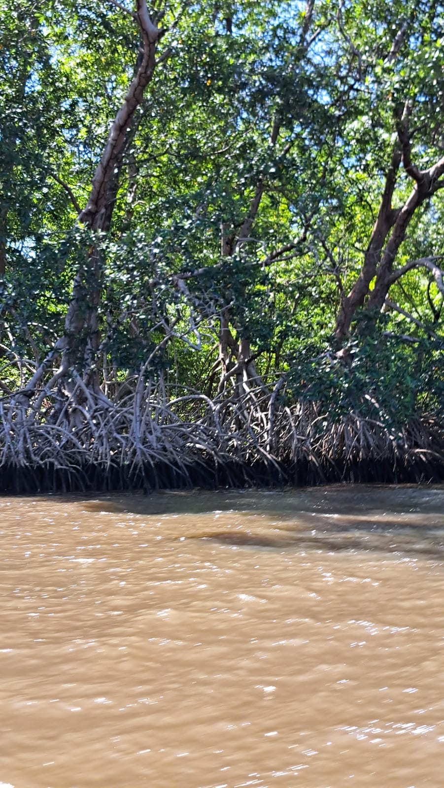
The stretch along the river — which is enormous — is captivating, winding past mangrove forests and tiny villages. In the final stretch, the dunes of the Little Lençóis open up ahead.
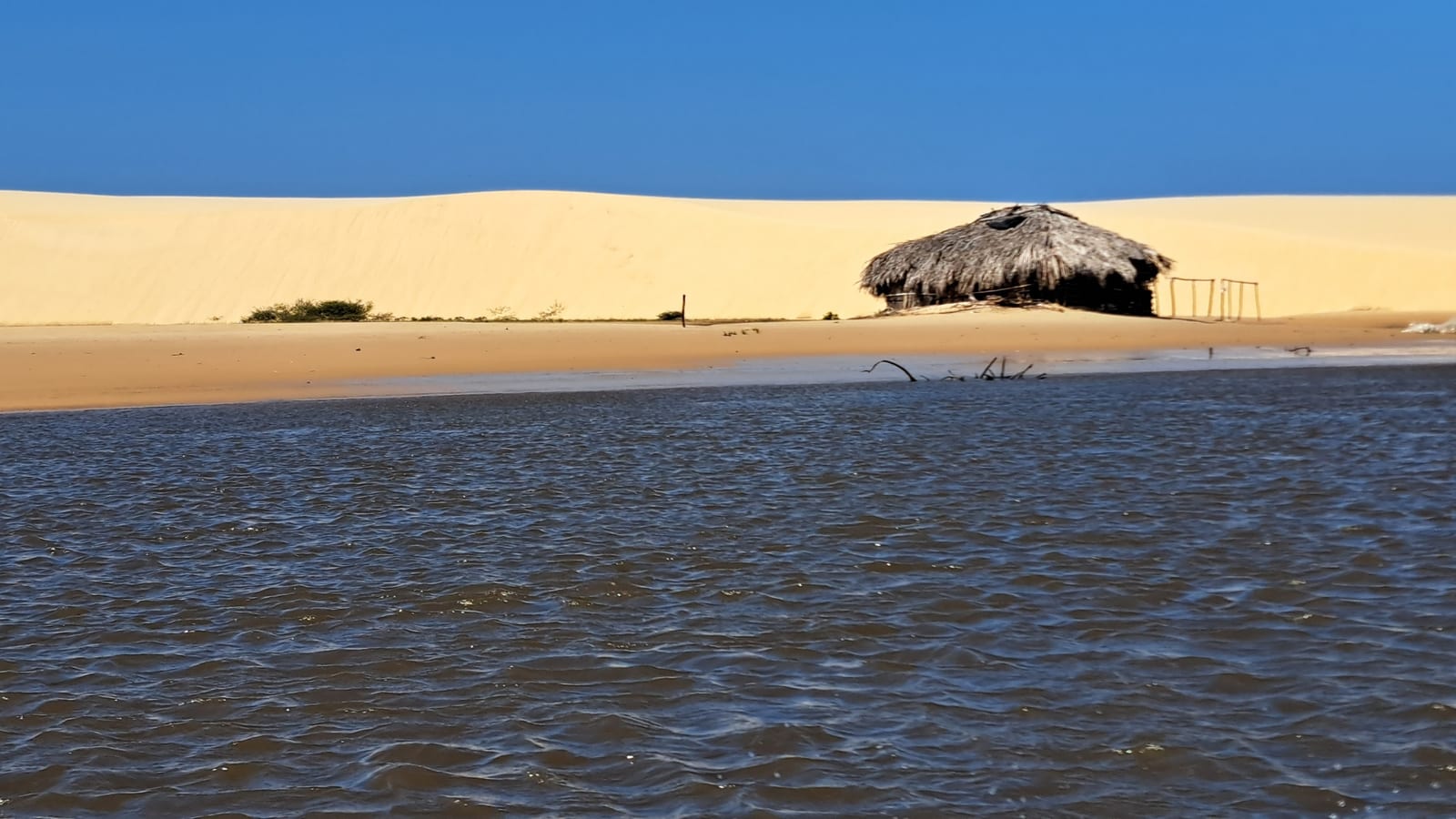
At Atins, we disembarked straight into the water, feet soaking in the river, whose color was anything but inviting.
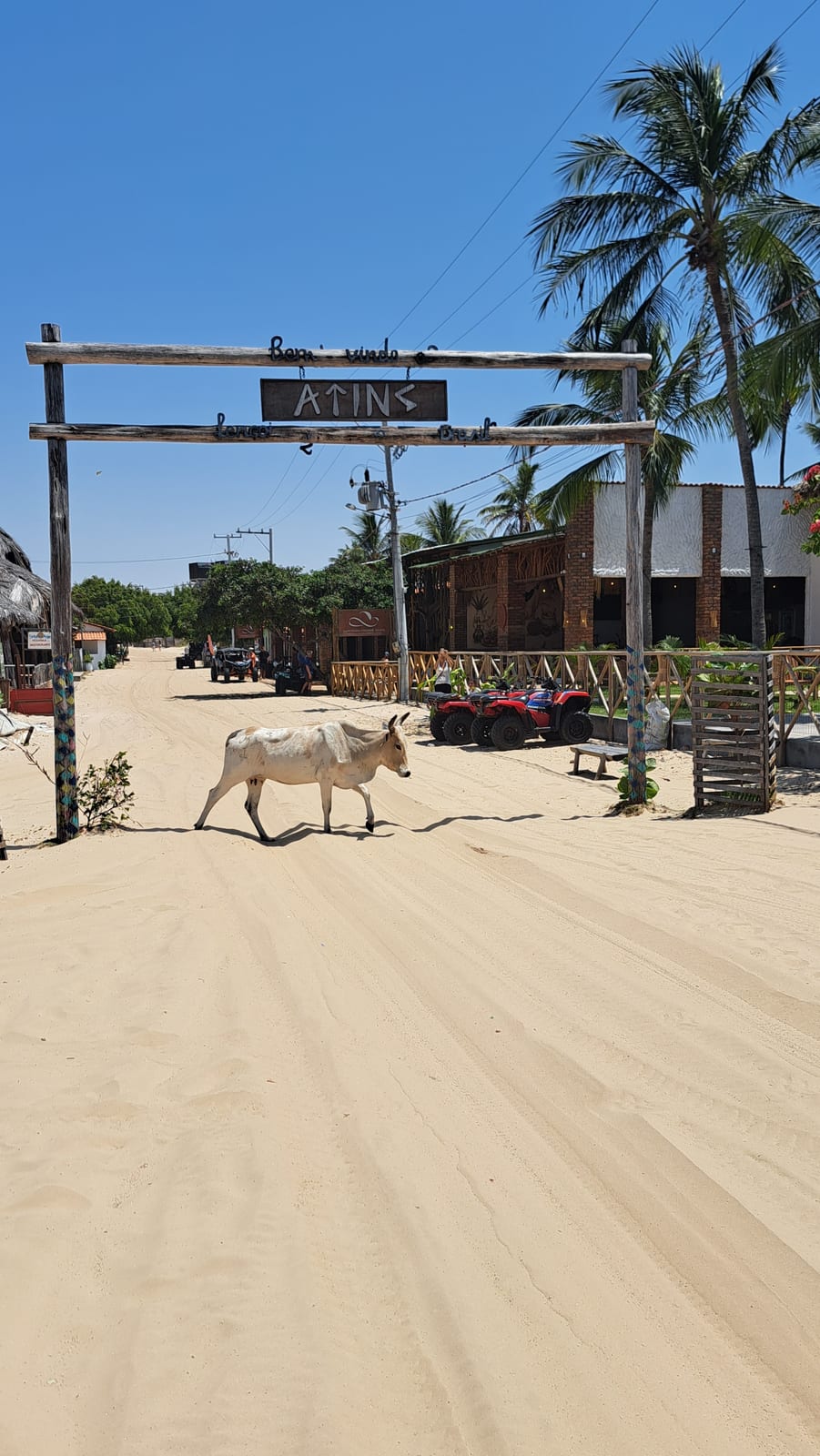
Atins is a small fishing village built on sand, now converted to a tourism scene that's part hippie, part trendy — an unlikely combination. Every street is made of the finest sand, which makes walking around fairly tiring. Pedestrians aside, the village's streets are traveled only by 4x4s and, above all, quad bikes. And then... donkeys, no less: yes, small donkeys roam free around the village. Along with a painfully thin cow we spotted grazing on the sparse vegetation along the beach, it all adds to the feeling of being somewhere slightly surreal. The village beach, at the mouth of the river, is dotted with fairly trendy spots for sipping cocktails, the perfect stereotype of Brazil's laid-back beach life.
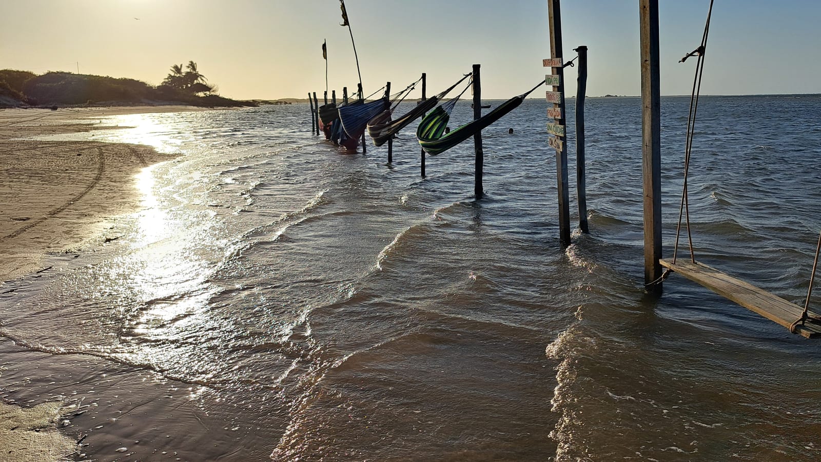
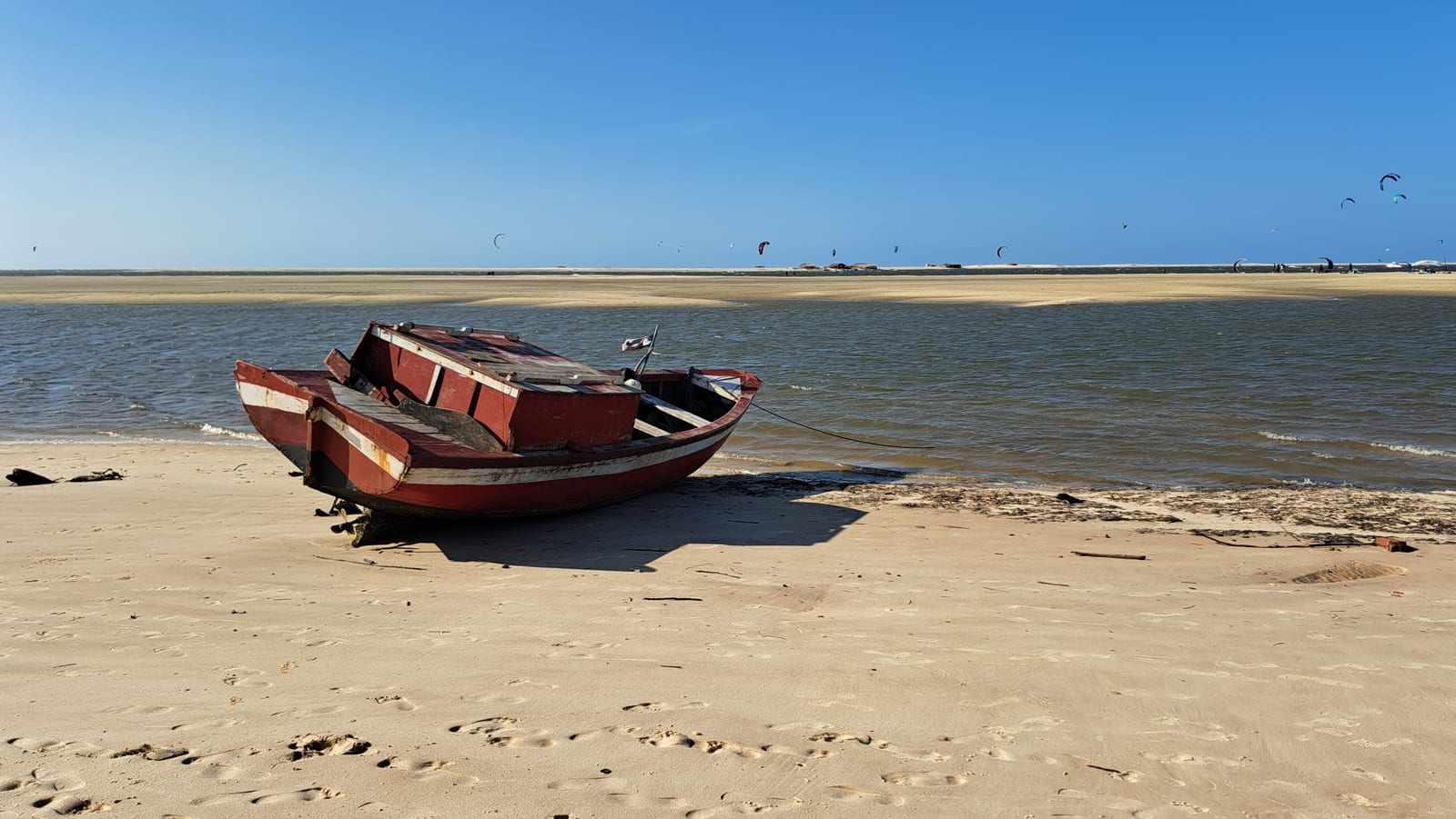
The wind sweeps these shores relentlessly. The shape of the river mouth keeps the beach sheltered from ocean swells, though, making it a paradise for kitesurfers. Less so for swimmers, given the color of the water, made murky by the fine sandy bottom. Plenty of small boats offer rides across to the opposite bank, and out to the ocean. But by then, it was too late for us.
Day 5 — The Lençóis Maranhenses
This day was devoted to the attraction that brought us to Brazil in the first place: the Lençóis Maranhenses.
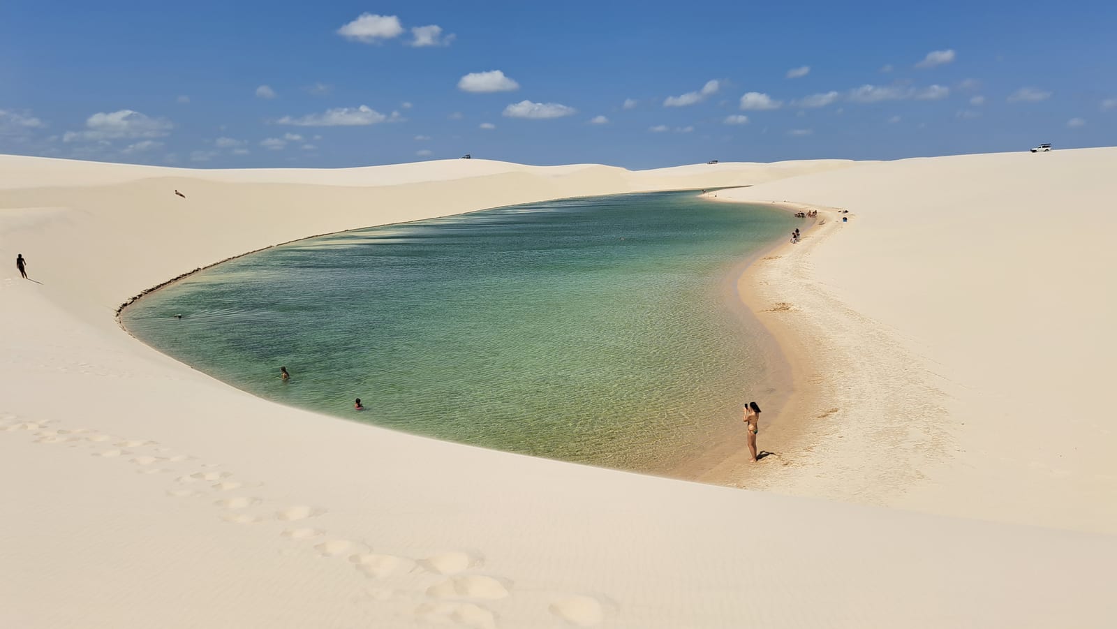
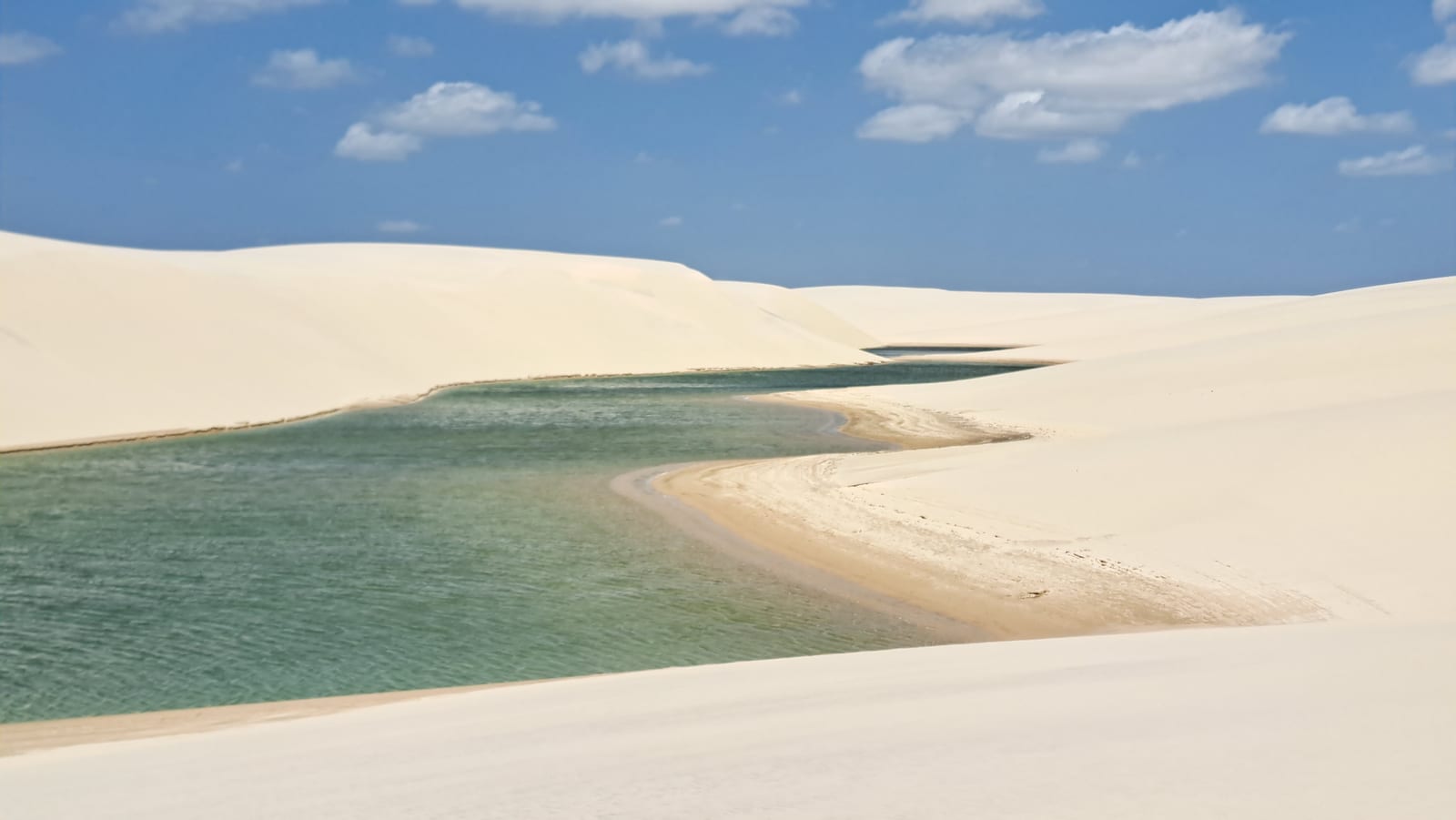
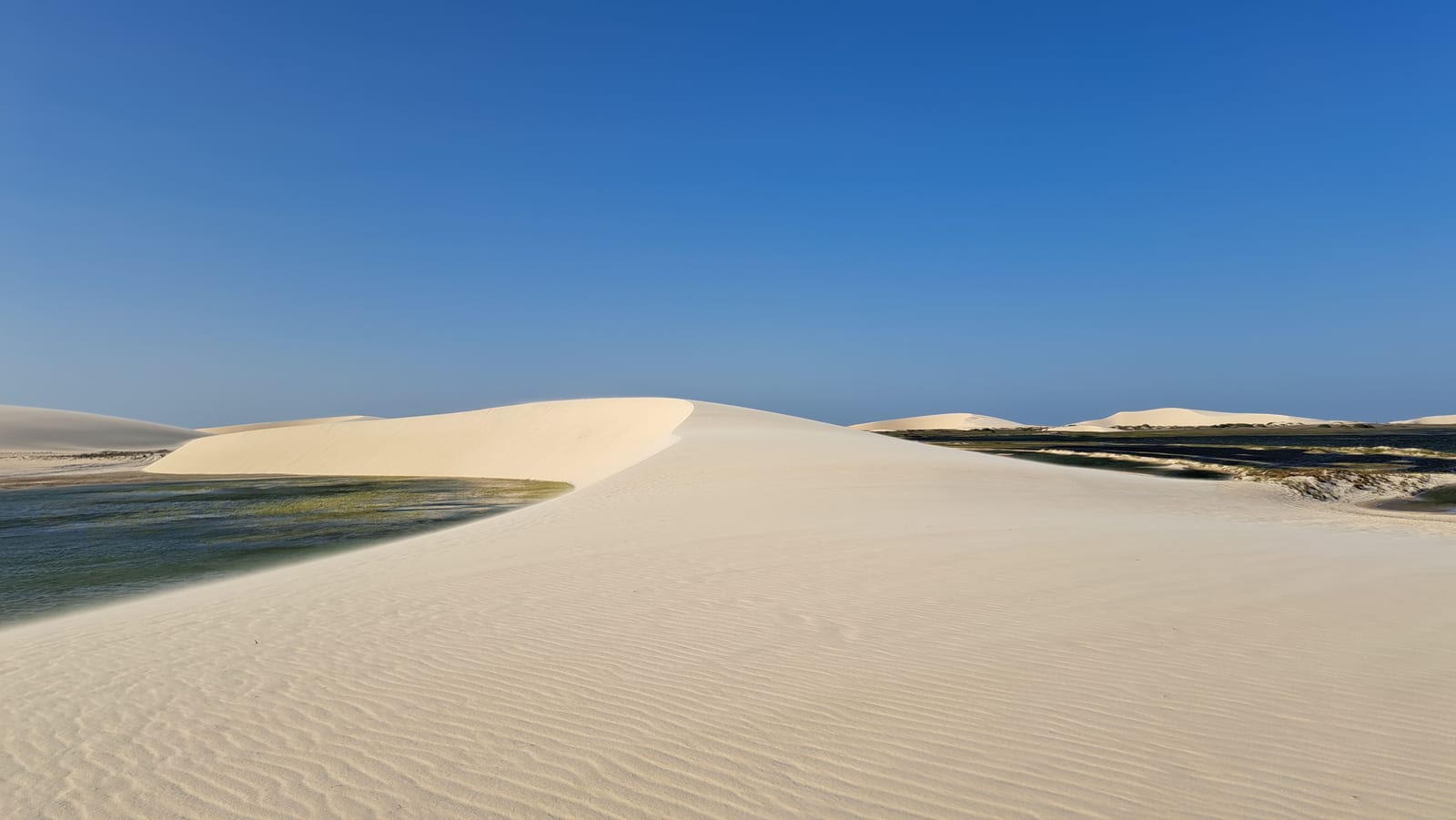
In our minds, Brazil had meant the Amazon rainforest and sprawling megacities. Then a photo of the Lençóis opened up a whole new world, and we started planning this trip. It's a vast, desert-like expanse of fine, blindingly white sand dunes — almost pure quartz, among the whitest in the world. Vegetation can't take hold here, not so much because of the sand's composition itself, but because of how unstable and constantly shifting the dunes are, never giving roots the time to anchor — despite the heavy rainfall during the wet season. The result is thousands of "lagoa", pools of rainwater that fill the low points between the dunes, destined to evaporate gradually as the dry season progresses. The area has been a UNESCO World Heritage Site since 2024.
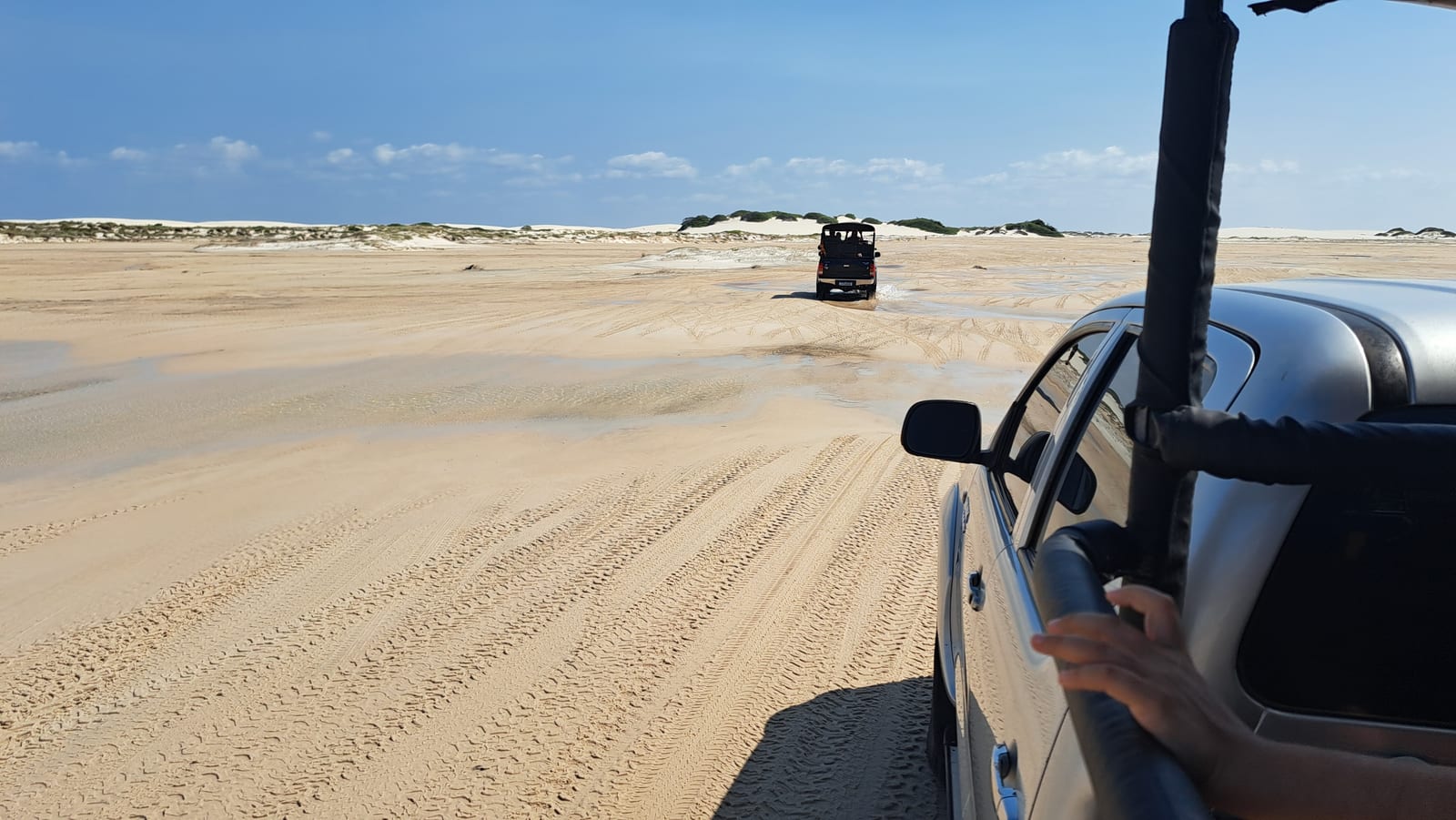
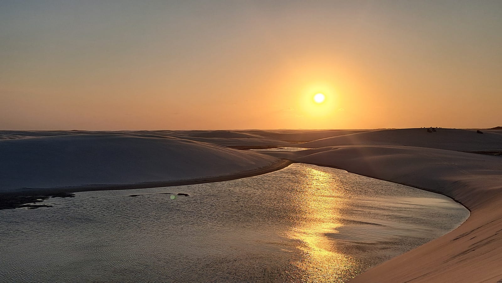
The view is truly stunning. We spent an entire day there, from morning to sunset, driven around by one of the dozens of off-road vehicles that cross its tracks every day.
The Lençóis are one of those places that are genuinely worth the trip. We had high expectations, and they were fully met. There are no words to convey what you feel standing there. The only option is to let the images speak, and leave room for imagination.
Day 6 — Caburé Beach
For our last day out of Atins, we chose Caburé Beach. Just enough time to catch a boat ride, and we set off. From the dock in Atins to the one in Caburé, it takes about twenty minutes, heading upriver a few kilometers along a stretch of the Rio Preguiça that's genuinely very wide.
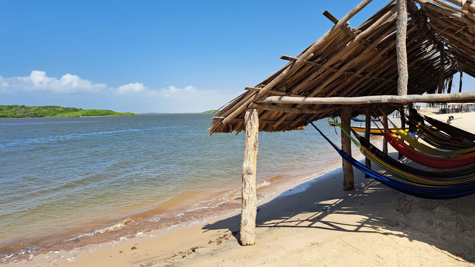
The river mouth runs parallel to the coast for kilometers, separated from the ocean by a barrier strip of blindingly white sand, made coarse by an endless number of tiny shell fragments. Caburé is one of the points where this strip is at its narrowest, no more than a few hundred meters. On the river side, there are a few pretty basic restaurants serving simple, fish-based meals to visitors, most of whom arrive on guided excursions from Barreirinhas, by boat or quad bike.
On the ocean side, there's absolutely nothing, for kilometers.
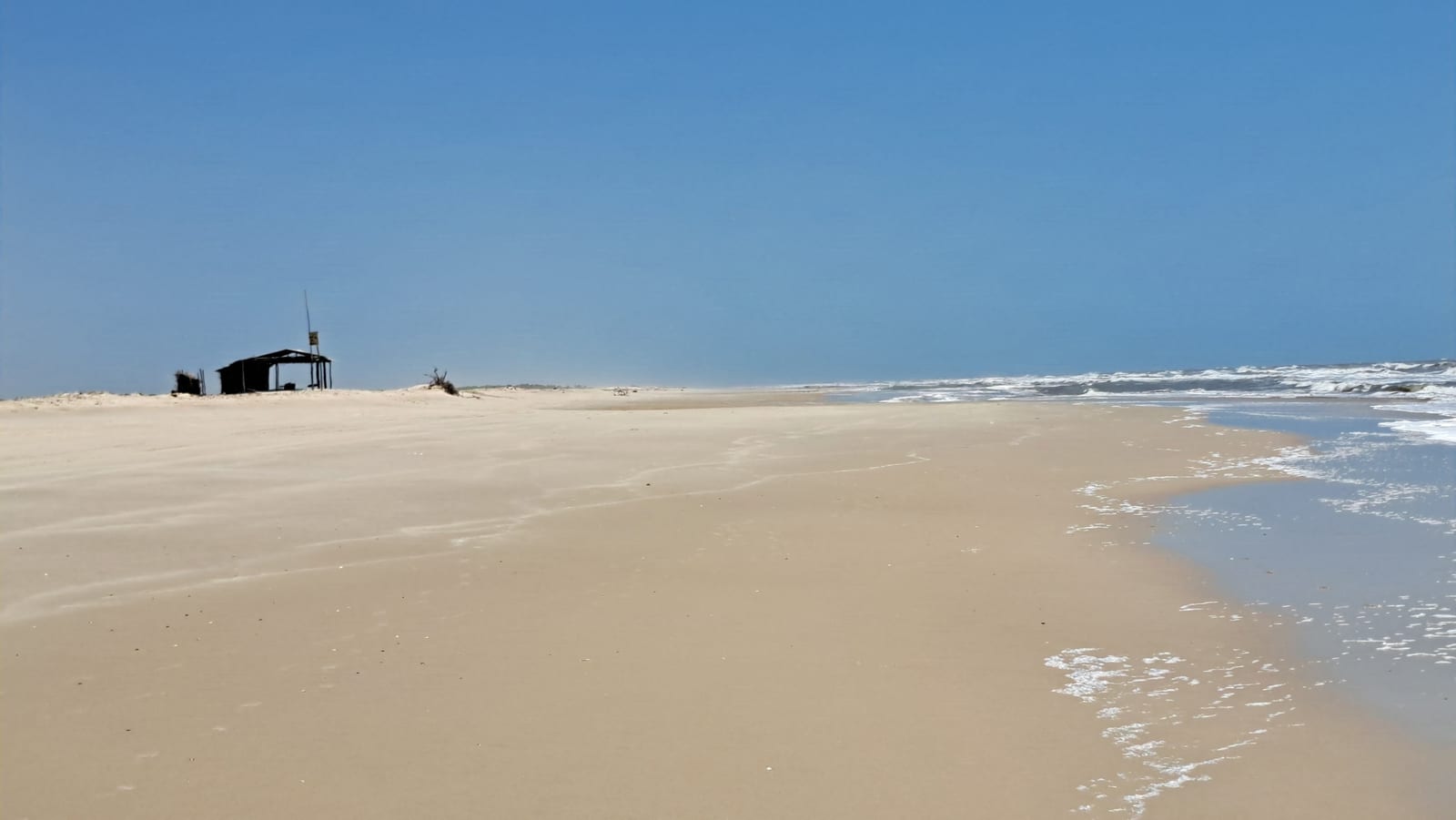
When we arrived, around 10 in the morning, the beach was so vast and so empty it was almost unsettling. Later in the morning, as the guided tours started stopping by, a few more people showed up, turning our initial unease at being alone into mild annoyance at no longer being alone.
In the early afternoon, at low tide, the sea pulls back dramatically, leaving natural pools behind in the sand — wave-free and pleasant to swim in. Watching how fast the tide comes back in is jaw-dropping.
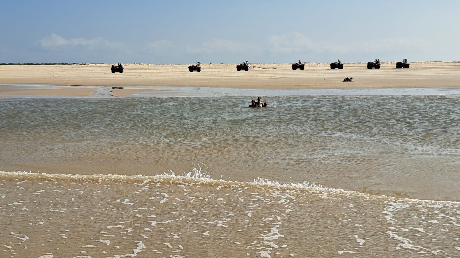
We'd arranged to be picked up at 5 p.m. That same uneasy feeling returned. All the day-trippers had left a while ago, the restaurant had closed, and we were completely on our own. Luckily, the boatman was true to his word and showed up right on time.
Day 7 — Last Goodbye to Atins and the Delta do Parnaíba
The day's plan was a visit to the Delta do Parnaíba, departing from Atins at 1 p.m. That gave us time for one last goodbye to this surreal, evocative, slightly chaotic village — modest little houses next to chic bars, kitesurfing schools next to abandoned shacks, sandy streets crossed as often by quad bikes as by unlikely animals.
We took a long walk along Atins beach, in fact wading through water for much of it, since the tide hadn't yet dropped enough to clear the shoreline. We went well past the last bars and restaurants, all the way to the point where the Rio Preguiça empties into the open ocean, disturbing the many birds that live beyond the stretches of coast settled by people.
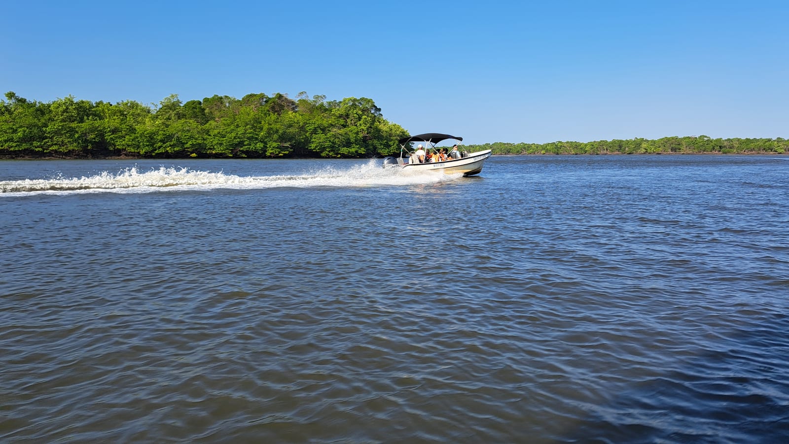
The route to the delta began with a short crossing to Caburé. From there, we transferred to a 4x4 for a long stretch heading east along the beach, at the foot of a massive wind farm, until reaching the town of Paulino Neves. From there, a dull stretch of paved road to Tutoia, where we boarded a motorboat again to cross the enormous Delta do Parnaíba — the only open-sea delta in all of the Americas, and the third largest in the world — arriving just in time for sunset opposite Ilha do Caju.
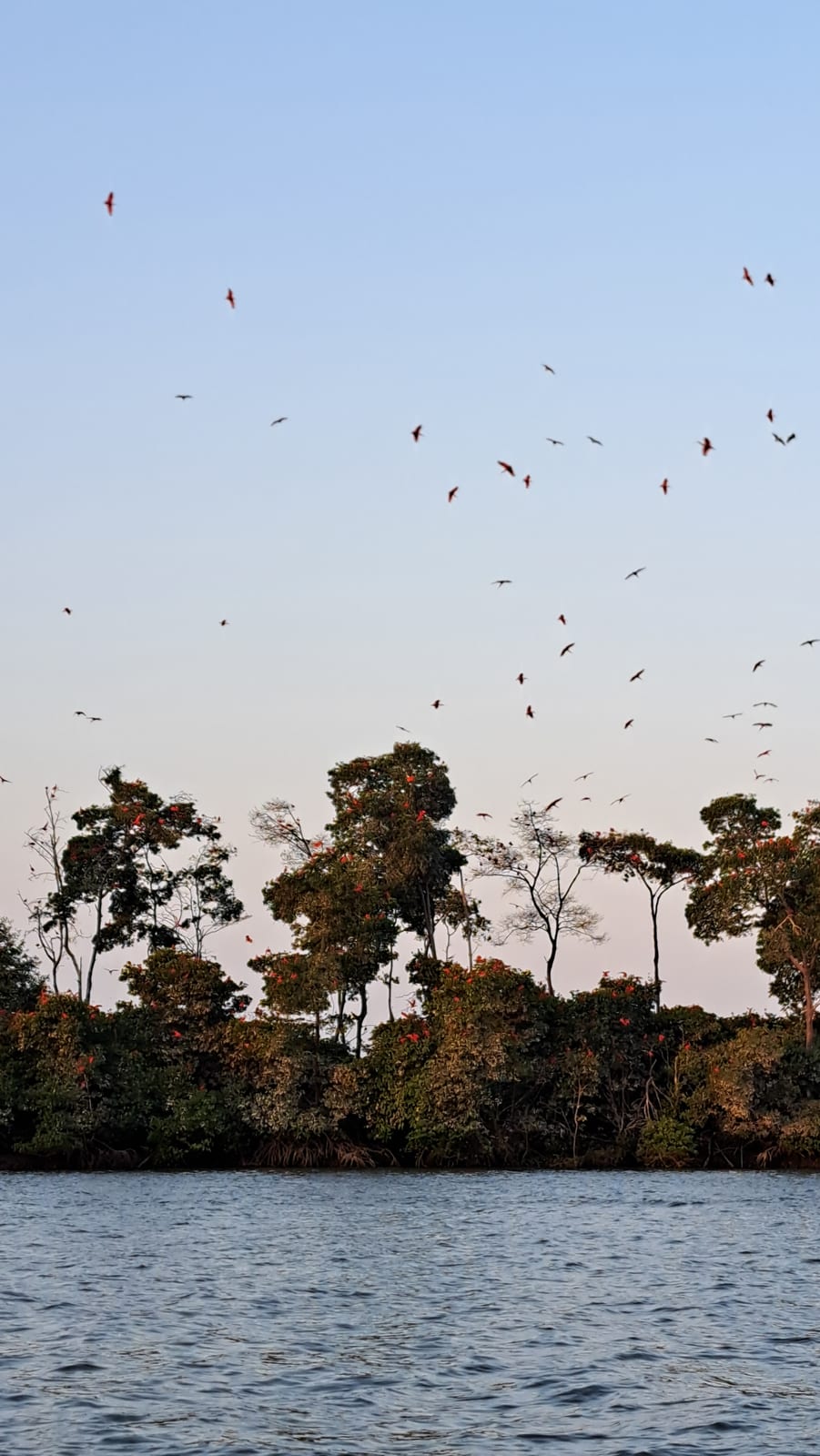
The goal: to watch the spectacle of the guarás, the scarlet ibis, that "come home" every evening to this strip of land in the middle of the delta. The show runs like clockwork and is truly spectacular — thousands of blazing red birds arriving from every direction to crowd, and color like flowers, the deep green trees of this little island. During the crossing, the boatman pointed out the red crabs these birds feed on, the ones responsible for the brilliant color of their plumage.
The final stretch of the crossing happens in the dark. It's a striking thing, speeding along by the light of a sliver of moon alone, with the boatman, flashlight in hand, occasionally scanning the banks for caimans. Sadly, we had to settle for spotting a snake resting on a branch. No caiman.
Day 8 — Arrival in Jericoacoara
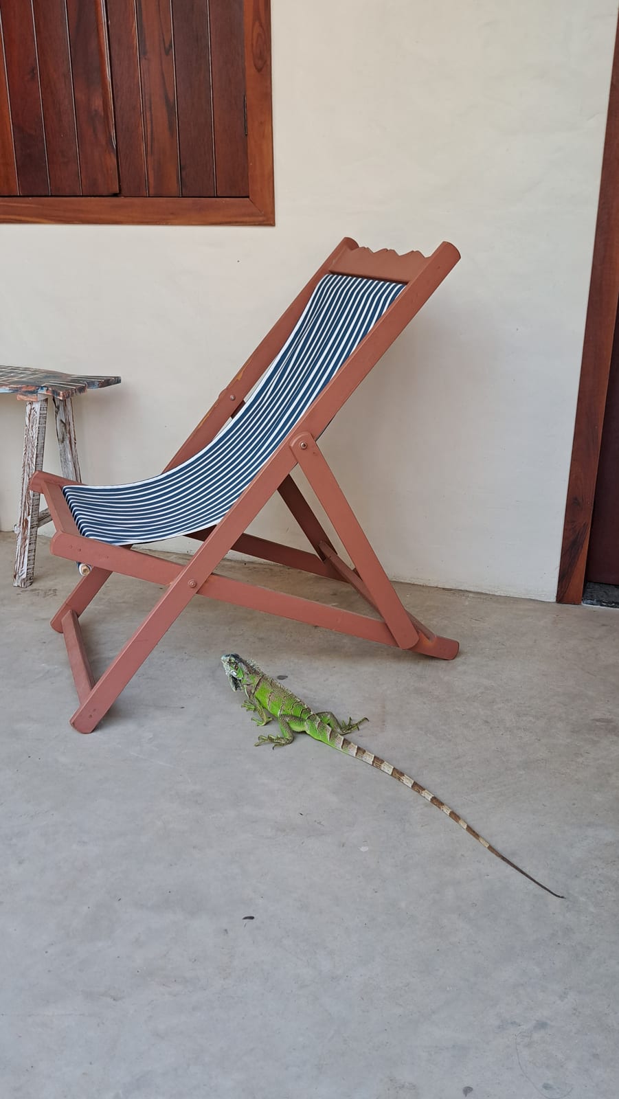
The Delta do Parnaíba marks the border between the states of Maranhão and Piauí. We spent the night right in the city of Parnaíba, in Piauí, without managing to see much of anything beyond admiring the iguanas — countless in this area — right outside the door of our pousada.
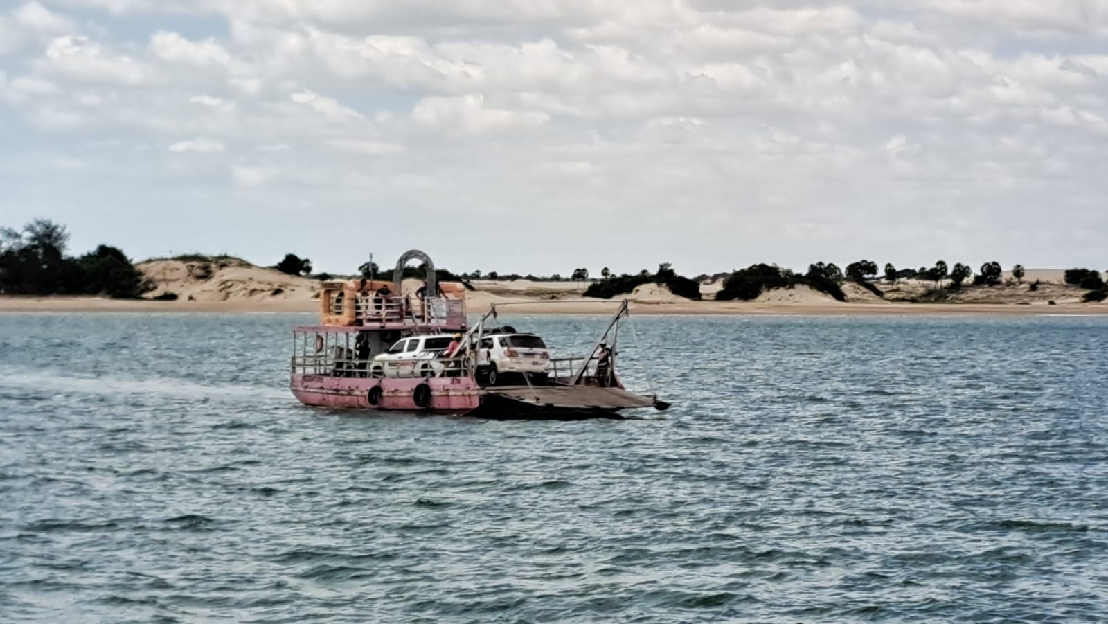
Then it was back into the 4x4 for a first stretch on paved road to Camocim. Piauí has a coastline only a few dozen kilometers long. Camocim is already in the state of Ceará, and sits on an estuary. Crossing it, on a decrepit barge, cost us nearly two hours in line.
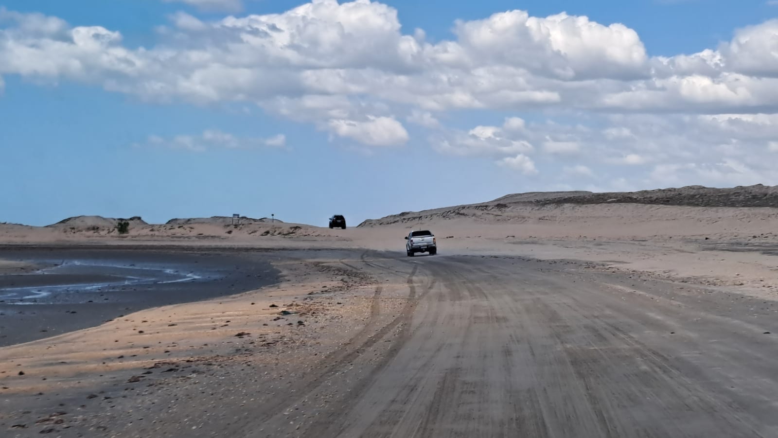
On the other side, the road is the beach: it was off-roading again, across an expanse made even more vast by the low tide and fringed by dunes of pale gold — a different shade entirely from the blinding white sand we'd found farther west.
The route passes near the Tatajuba dunes, where we made a detour for lunch. Among those dunes too there are a few rainwater lagoons, like at the Lençóis, though more geared toward tourism: it was there that we had our first plate of ultra-fresh shrimp, at a table planted directly in the water.
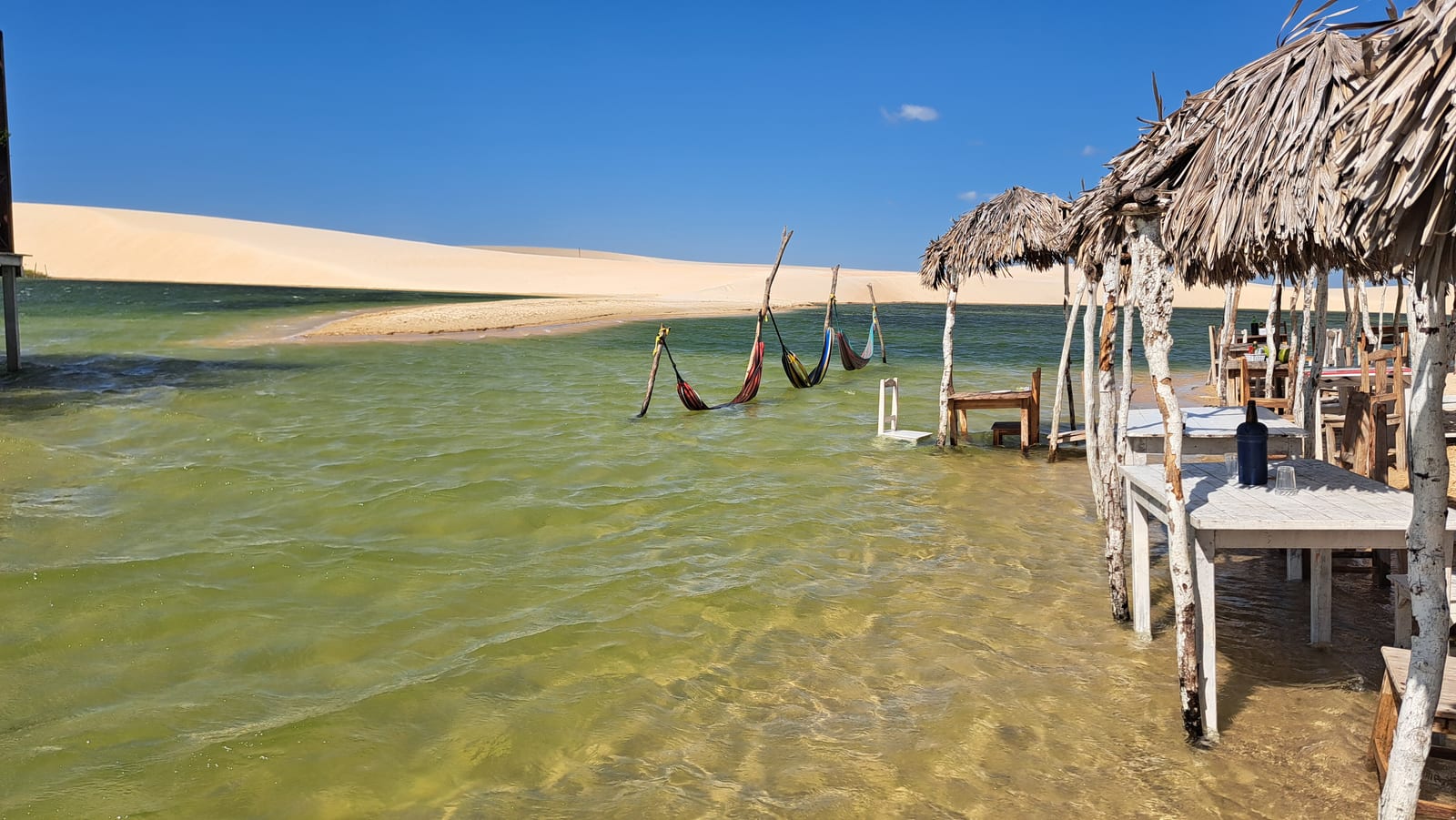
All told, this back-and-forth between wild nature and organized tourism didn't bother us in the least.
We arrived in Jericoacoara in the afternoon and found an unexpectedly well-developed tourist scene. The town, built entirely on sand just like Atins, shares the same hippie-meets-trendy vibe, but its tourism infrastructure is far more mature. The sheer number of shops, restaurants, and pousadas is impressive, and the number of people from every corner of the world is staggering — without ever feeling overwhelming. Everything is steeped in a pleasant sense of calm and ease. Unlike everywhere else we'd visited so far, we noticed a lot of Brazilians here, which made us think that for them, Jericoacoara is a vacation spot in its own right, not just one stop on a traveling itinerary the way it is for us Europeans.
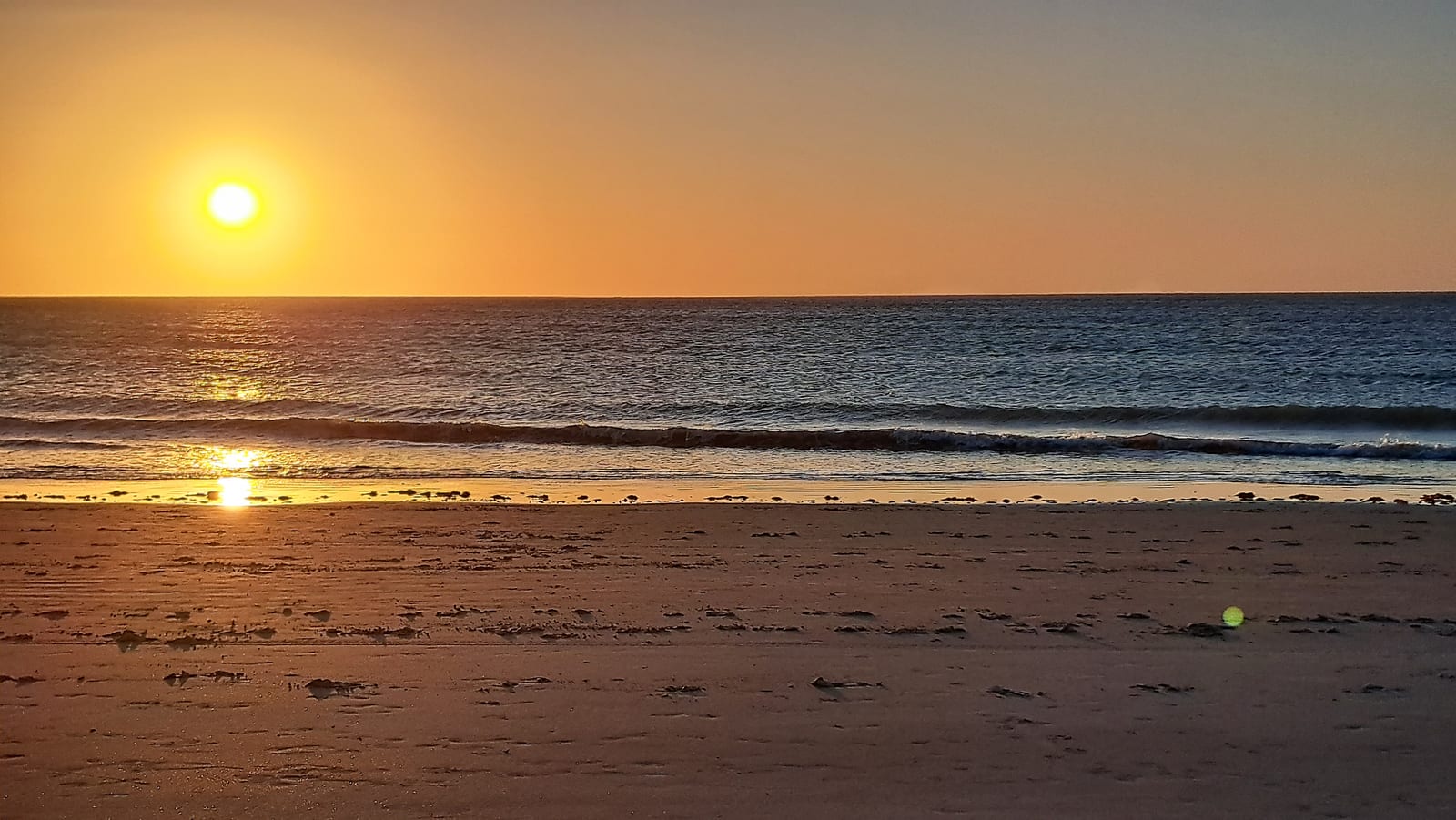
For our first evening, we gave ourselves over to the local tourist rituals: sunset on the Duna do Pôr do Sol, caipirinhas and skewers from the beach kiosks, music on the sand.
Day 9 — Jericoacoara, Lado Leste
In Jericoacoara, excursions basically split along two lines: east side (lado leste) or west side (lado oeste), and by type of vehicle — guided quad bikes, a private buggy with a driver-guide, or an open-top 4x4. The town is full of agencies offering these tours, and the itineraries all look pretty similar regardless of which vehicle you pick.
For our first day, we went with convenience and cost: east side, by 4x4.
The first two stops were pointless, almost irritating. First, the "Sleepy Tree" — a tree whose only notable trait is having grown alone in the middle of an expanse of sand, bent by the wind into a fully horizontal posture. Then the village of Preá, just long enough for a photo in front of the "monument" in the little central square, without even walking down to see the beach.
Third stop, Buraco Azul. It's a hollow in the rock that forms a natural pool of stunning turquoise. Too bad it's been turned into a sort of public swimming pool, complete with a diving platform, a bar-restaurant, and a little gift shop.
Fourth stop, Lagoa do Paraíso. It's a large, beautiful lagoon, its shores lined with beach clubs — some of them quite upscale — with the usual half-submerged tables, hammocks, and swings right at the waterline. Very touristy, but, this last stop, genuinely enjoyable.
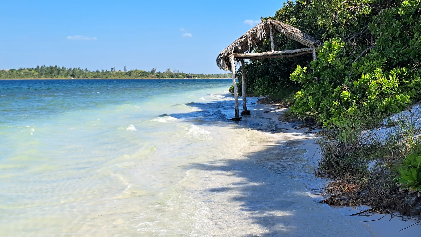
The way back runs through Jericoacoara National Park. Finally, back in nature. We made one last stop at Lagoa do Amâncio, very lovely.
A day of ups and downs. Tomorrow, since we still won't be able to move around on our own, we'll go with a private buggy for a bit more freedom.
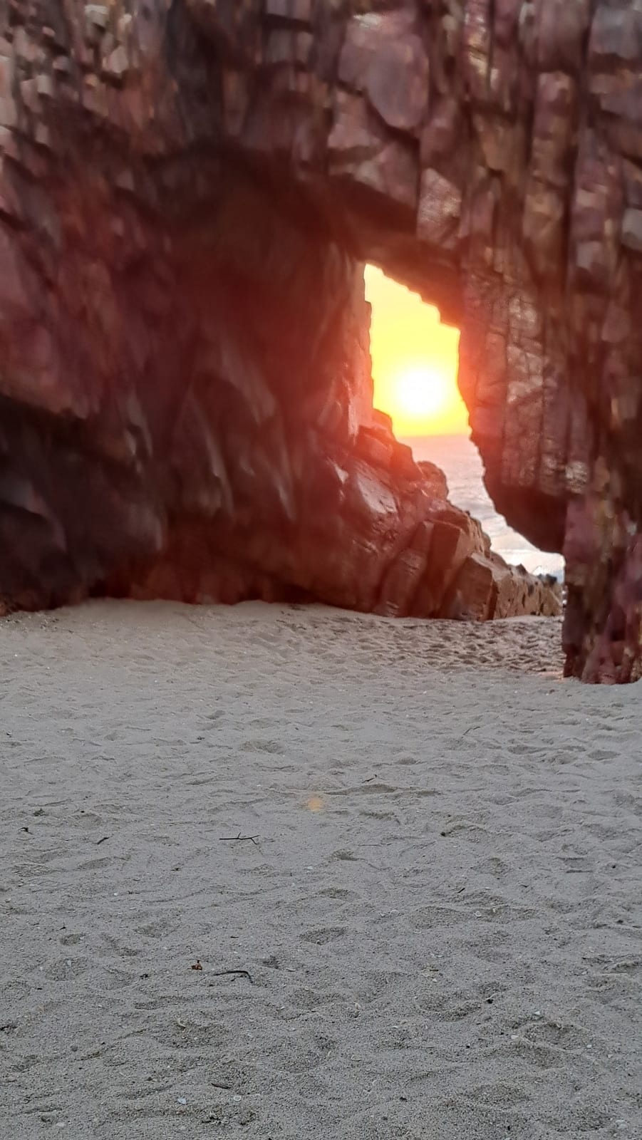
On the way back, we had them drop us at the start of the trail to Pedra Furada. The 40-minute trail climbs over the rock formation that shields the town from the advancing dunes and the beach from the high ocean swells. On the other side, a natural rock arch that wouldn't have much to say for itself, if it weren't for the fact that, at sunset, it's cut straight through by sunlight. Worth the walk — better with shoes on, though in Jericoacoara, shoes are practically alien objects.
Day 10 — Jericoacoara, Lado Oeste
For our second day in Jericoacoara, we took things at a slower pace to explore the west side by buggy — a small, fully open vehicle with two seats in the cab, plus three more on a cushion mounted on the back, outside. Not exactly a safety champion, but a huge amount of fun, and not to be skipped.
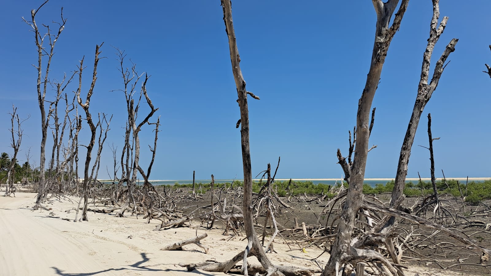
We passed back through some of the places we'd driven through on our arrival, this time at a more leisurely pace — the village of Guriú, devoted to kitesurfing, and Mangue Seco, the stretch of dried-out mangroves that gives the stop its name.
The Rio Guriú also runs through the area, a saltwater river where you can catch a small boat to see seahorses in their natural habitat: unexpected, and genuinely interesting.
Leaving Jericoacoara National Park behind, we continued on to the Tatajuba dunes, with a bit of an adrenaline kick — skidding turns and steep drops down walls of sand.
The excursion, to the delight of the kids especially but not only them, runs through a couple of tourist-trap attractions: a board ride down a dune, or a dune-top slide, both always ending with a splash into one of the various rainwater lagoons. All very low-key, and honestly, not exactly ruinous to the landscape.
For lunch we went back to Lagoa Grande, where we'd also stopped on the day we arrived. We got bored of it quickly, so we had ourselves driven back toward Praia Principal in Jericoacoara, to soak up a bit more of the town's carefree atmosphere — and to marvel again at how the shape of the land keeps this stretch of coast so calm, despite the constant, powerful wind.
Days 11–13 — Off-the-Route Beaches to Close Out the Trip
We left in the morning around 9:30, heading east, retracing part of the Lado Leste route without making any stops.
The Rota das Emoções ends in Jericoacoara, but rather than heading straight on, we chose to break up the drive to Fortaleza's international airport with a couple of nights at "off-the-route" beaches. We picked Guajiru, near Flecheiras and, if anything, even quieter. On these beaches, the draw — besides the kitesurfing — is the natural pools that form at low tide.
The drive to get there is fascinating. Around Preá, after a stop to reinflate the tires, we left the sand off-roading behind for a regular paved road. The route still managed to stay interesting, thanks to our driver, who, as we passed by, told us first about the intensive cultivation of caju and cashews — which we learned are part of the same fruit — and then about intensive coconut farming, which we discovered has different harvest times depending on the intended use (water, flesh, or cosmetics).
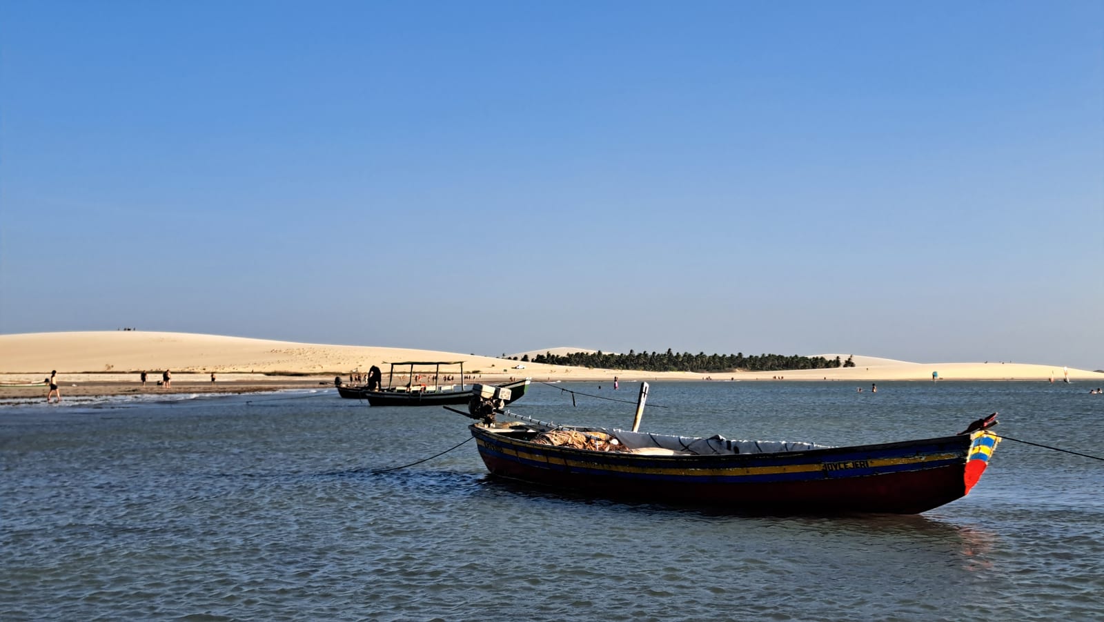
Around Icaraí, we let the tires down again and went back to off-roading along the shoreline. Here, the crowds of Jericoacoara feel far away. The beaches stretch on forever, empty. The only sign of human presence is the many wind turbines and, now and then, clusters of small fishing boats that look abandoned but actually belong to fishermen living in villages beyond the dunes.
Every so often, a lone kitesurfer breaks the solitude.
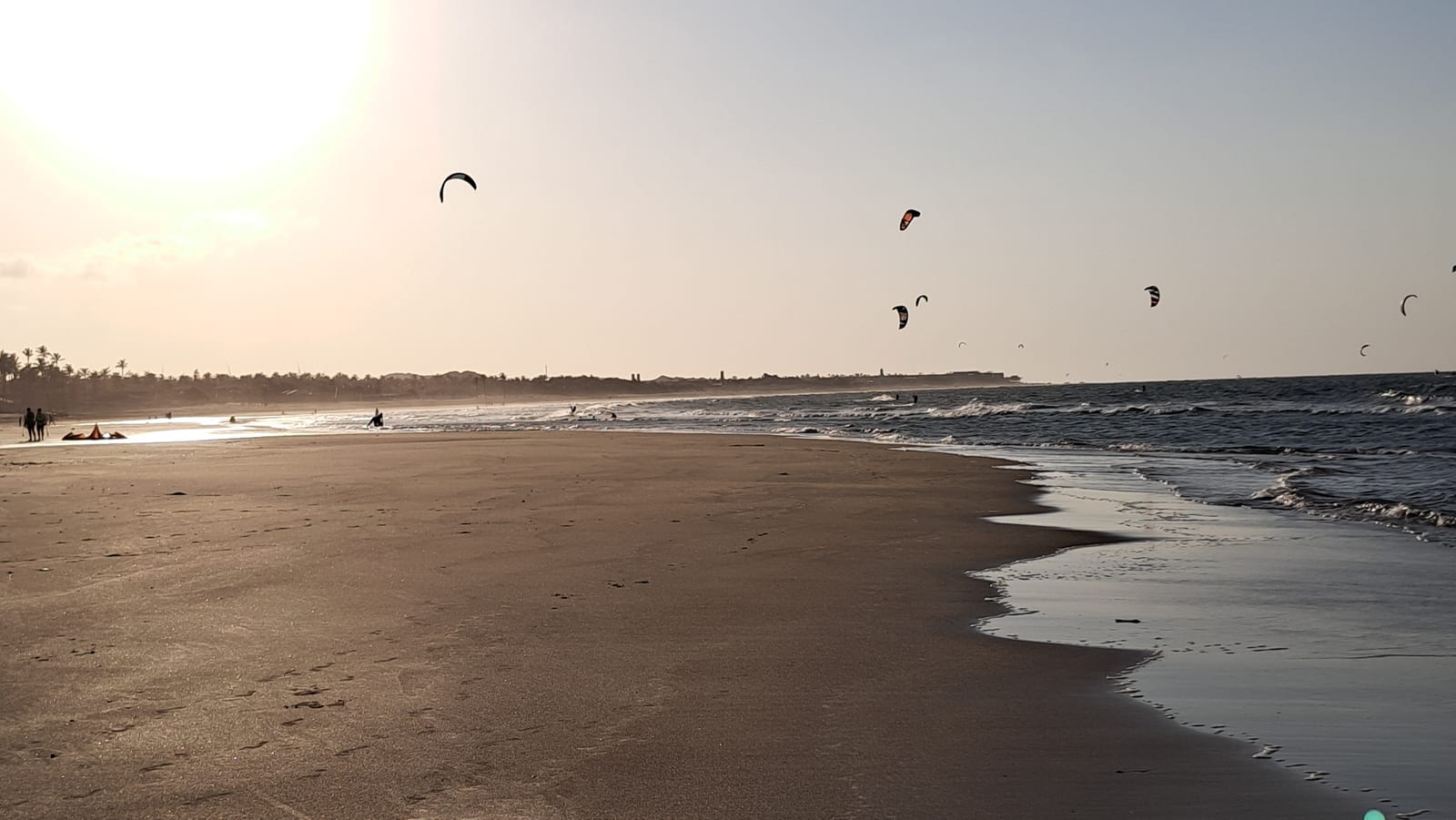
The settlements along the coast are few, generally run-down, and miles apart from each other. A handful of simple houses, often unfinished, a fishing boat or two beached on the sand, a no-frills restaurant. Beach umbrellas... zero. Here, the way people live with the sea is about as far as you can get from the Mediterranean idea of a beach club.
Guajiru, by contrast, struck us as a touch more upscale. Almost a honeymoon destination, or a spot for well-off Brazilians — unlike everywhere else we'd visited, foreigners were few and far between here. It's a small town, simple but fairly exclusive, quite polished, at least around the handful of properties right on the water. Perfect for anyone who isn't drawn to nightlife, less so for anyone chasing it. But we, fortunately, belong to the first camp. A fitting way to say goodbye to this enormous country.
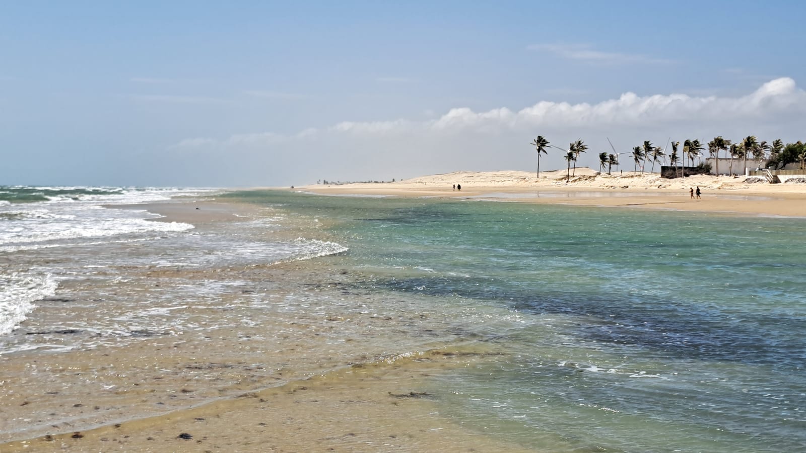
When we arrived, around 10 in the morning, the beach was so vast and so empty it was almost unsettling.
From Guajiru, the last transfer took us to Fortaleza and the flight home — a much shorter drive than any we'd made up to that point, and for once, on paved road from start to finish. After thirteen days of sand, boats, and river crossings, it felt almost like an anticlimax, as if the country wanted to ease us back into the ordinary before letting us go.
Rio, which we'd nearly treated as an obligation, held up beautifully against everything that came after. But it's the Northeast that will stay with us longest: a small donkey wandering the sandy streets of Atins, the guarás turning the trees red at sunset, a boatman's flashlight scanning the riverbank for caimans that never showed up. We'd set out chasing a photograph of white dunes and turquoise lagoons, and we found it exactly as promised. What no photograph could have prepared us for was everything else — starting with how easily we let go of the wheel, and let the country drive for a while instead of us.